Transport Functions
Multimodal
Hub Profile
Place type
Populated place
Region
England
Time zone
Europe/London
Elevation
88 m
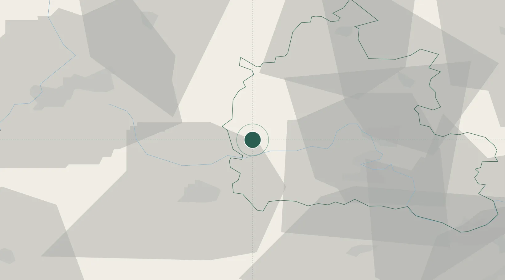
Location
Nearby Logistics Neighbours
Ports
- 1Sharpness60 km
- 2Bristol76 km
- 3Avonmouth80 km
- 4Southampton94 km
- 5Bird Port95 km
Airports
- 1RAF Brize Norton3 km
- 2RAF Fairford13 km
- 3London Oxford Airport23 km
- 4RAF Benson38 km
- 5Gloucestershire Airport42 km
Trade Zones
DatabookThe Record of Consolidated Knowledge
United Kingdom beyond logistics?