Medium airport · United Kingdom

Gloucestershire AirportEGBJ
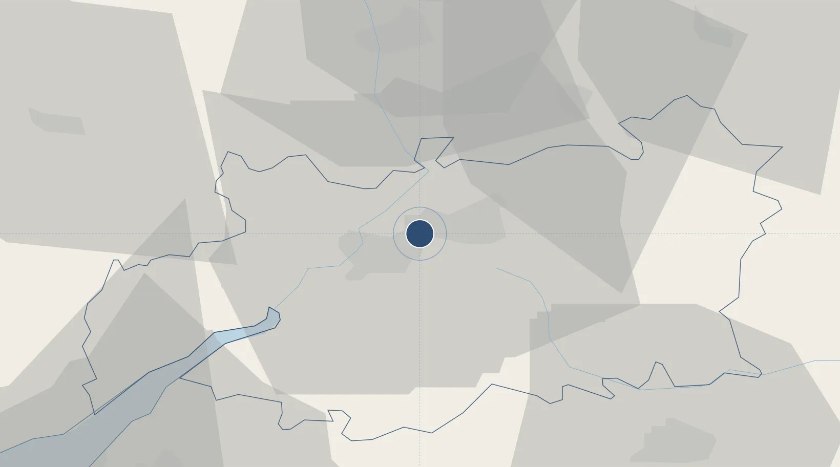
51.8942°, -2.1672°
4,695 ft
Longest runway
2
Runways
101 ft
Elevation

Runway & Layout

Gloucestershire Airport runway & taxiway layout
Runway & taxiway layout — OpenStreetMap (ODbL) / OurAirports

Radio Frequencies

ATIS
127.475 MHz
TWR
122.9 MHz
GLOSTER TWR
APP
128.55 MHz
GLOSTER APP
EMR
121.6 MHz
FIRE
RDR
120.975 MHz
RADAR
OurAirports

Navaids

GOS DME Gloucestershire 115.55 MHz
GST NDB Gloucestershire 331 kHz
OurAirports

Runways · 2

RunwayDimensions SurfaceTrue headingLit
09/27 4,695 × 98ft Asphalt 085°
04/22 3,225 × 75ft Asphalt 035°
OurAirports

Airport Specifications

IATA code
GLO
OurAirports
ICAO code
EGBJ
OurAirports
Airport class
Medium airport
OurAirports
Scheduled service
No
OurAirports
Runway surface
Asphalt
OurAirports
Served city
Staverton, Gloucestershire
OurAirports

Location

Location of EGBJ
Natural Earth 10m (public domain) · Gloucestershire · EGBJ · 51.89, -2.17GoogleOSMYandex

Nearby Logistics Neighbours

Airports
  1. 1RAF Fairford35 km
  2. 2RAF Brize Norton43 km
  3. 3London Oxford Airport59 km
  4. 4Bristol Airport68 km
  5. 5Birmingham Airport69 km
Nearest neighbours — logibook spatial index (haversine) over the source coordinates
Cities
  1. 1Staverton3 km
  2. 2Ashchurch11 km
  3. 3Quedgeley12 km
  4. 4Miserden13 km
  5. 5Newent18 km
Nearest neighbours — logibook spatial index (haversine) over the source coordinates
Ports
  1. 1Sharpness29 km
  2. 2Bristol57 km
  3. 3Avonmouth58 km
  4. 4Bird Port66 km
  5. 5Newport68 km
Nearest neighbours — logibook spatial index (haversine) over the source coordinates
Trade Zones
  1. 1Ceramics Valley34 km
  2. 2Hereford Enterprise Zone39 km
  3. 3Bristol Temple Quarter Enterprise Zone57 km
  4. 4Science Vale Oxfordshire Enterprise Zone67 km
  5. 5Birmingham City Centre Enterprise Zone68 km
Nearest neighbours — logibook spatial index (haversine) over the source coordinates
DatabookThe Record of Consolidated Knowledge
United Kingdom beyond logistics?
Browse databook

All Sources

AirportsOurAirports
Public domain
Portsthe NGA World Port Index
Public domain (US gov)
LocationsUN/LOCODE
UN/LOCODE — free
Trade Zonesthe World Bank SEZ database
CC BY 4.0
Trade ZonesOpen Zone Map
CC BY
InfrastructureOpenStreetMap
ODbL 1.0
← United Kingdom airports