Medium airport · United Kingdom
RAF BensonEGUB
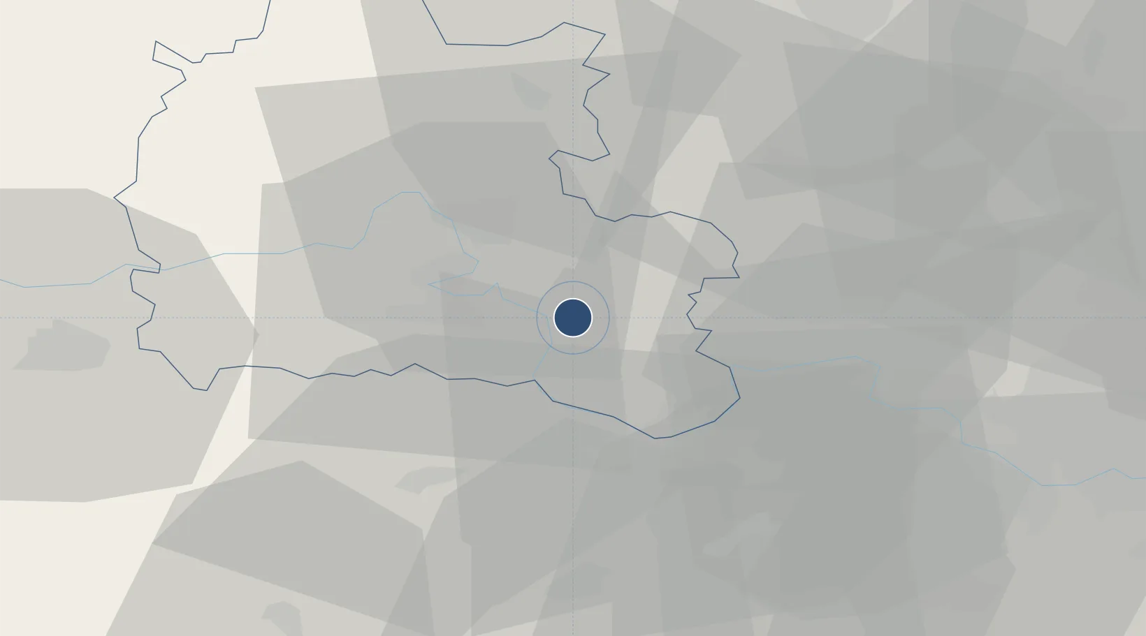
51.6144°, -1.0960°
5,981 ft
Longest runway
1
Runways
226 ft
Elevation
Runway & Layout

Radio Frequencies
ATIS
282.525 MHz
TWR
127.15 MHz
TWR
318.1 MHz
APP
376.65 MHz
APP vhf
136.45 MHz
Director
356.125 MHz
GRN
121.8 MHz
Zone / CAC
120.9 MHz
Navaids
BSO TACAN Benson 110.00 MHz
Runways · 1
| Runway | Dimensions | Surface | True heading | Lit |
|---|---|---|---|---|
| 01/19 | 5,981 × 150ft | Asphalt | 008° | ✓ |
Airport Specifications
IATA code
BEX
ICAO code
EGUB
Airport class
Medium airport
Scheduled service
No
Runway surface
Asphalt
Served city
Wallingford, Oxfordshire
Location
Nearby Logistics Neighbours
Airports
- 1London Oxford Airport29 km
- 2Blackbushe Airport37 km
- 3RAF Brize Norton37 km
- 4RAF Odiham44 km
- 5Farnborough Airport44 km
Cities
- 1Blewbury12 km
- 2Kingston Blount15 km
- 3Steventon15 km
- 4Chinnor16 km
- 5Compton16 km
Ports
- 1London71 km
- 2Southampton82 km
- 3Fawley Marine Terminal90 km
- 4Portsmouth Harbour91 km
- 5Cowes Harbour95 km
Trade Zones
DatabookThe Record of Consolidated Knowledge
United Kingdom beyond logistics?