UN/LOCODE hub · United Kingdom
GBZAQ

Coleshill

51.6333°, -1.6500°
1
Transport functions

Transport Functions

Multimodal
UN/LOCODE

Hub Profile

Place type
Populated place
GeoNames
Region
England
GeoNames
Time zone
Europe/London
GeoNames
Elevation
115 m
GeoNames

Location

Location of GBZAQ
Natural Earth 10m (public domain) · England · GBZAQ · 51.63, -1.65GoogleOSMYandex

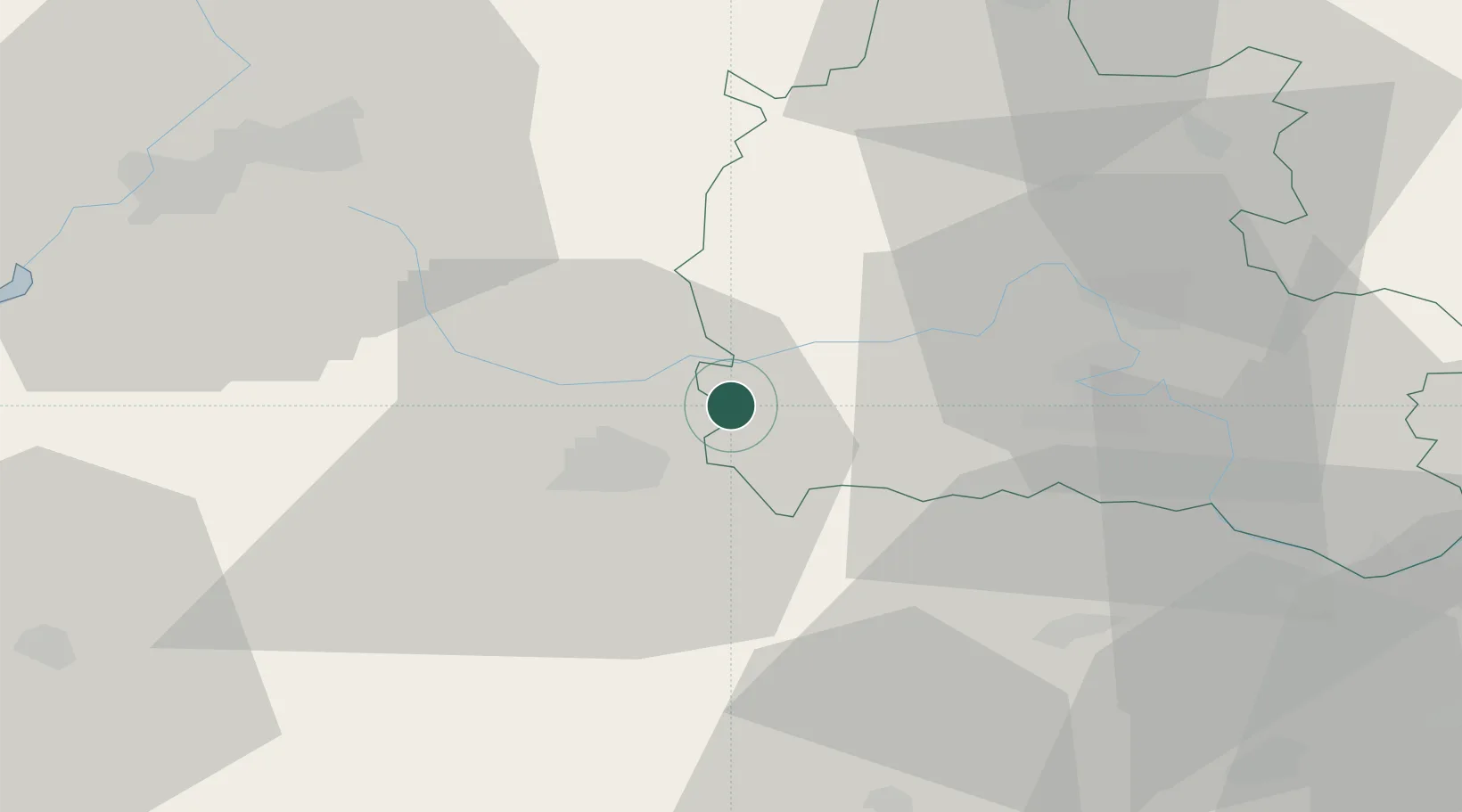
Nearby Logistics Neighbours

Cities
  1. 1Fernham5 km
  2. 2Highworth5 km
  3. 3Hurley11 km
  4. 4Kencot11 km
  5. 5Carterton14 km
Nearest neighbours — logibook spatial index (haversine) over the source coordinates
Ports
  1. 1Sharpness58 km
  2. 2Bristol71 km
  3. 3Avonmouth75 km
  4. 4Southampton83 km
  5. 5Bird Port91 km
Nearest neighbours — logibook spatial index (haversine) over the source coordinates
Airports
  1. 1RAF Fairford11 km
  2. 2RAF Brize Norton14 km
  3. 3London Oxford Airport32 km
  4. 4RAF Benson38 km
  5. 5Gloucestershire Airport46 km
Nearest neighbours — logibook spatial index (haversine) over the source coordinates
Trade Zones
  1. 1Science Vale Oxfordshire Enterprise Zone25 km
  2. 2Aylesbury Vale61 km
  3. 3EZ³ Enterprise Zone62 km
  4. 4Thames Valley Business Growth Hub Berkshire67 km
  5. 5Bristol Temple Quarter Enterprise Zone67 km
Nearest neighbours — logibook spatial index (haversine) over the source coordinates
DatabookThe Record of Consolidated Knowledge
United Kingdom beyond logistics?
Browse databook

All Sources

LocationsUN/LOCODE
UN/LOCODE — free
Portsthe NGA World Port Index
Public domain (US gov)
AirportsOurAirports
Public domain
Trade Zonesthe World Bank SEZ database
CC BY 4.0
Trade ZonesOpen Zone Map
CC BY
← United Kingdom locations