Medium airport · United Kingdom

RAF Brize NortonEGVN

51.7500°, -1.5836°
10,007 ft
Longest runway
1
Runways
288 ft
Elevation

Runway & Layout

RAF Brize Norton runway & taxiway layout
Runway & taxiway layout — OpenStreetMap (ODbL) / OurAirports

Radio Frequencies

ATIS
126.5 MHz
GND
121.725 MHz
APP
127.25 MHz
DEP
127.25 MHz
CAC
124.275 MHz
Non-Zone Radar Service (See LARS)
LARS
124.275 MHz
Lower Airspace Radar Service (0900L-1700L)
OPS
135.75 MHz
RDR
133.75 MHz
Director Radar
TWR 1
123.725 MHz
Primary
TWR 2
123.55 MHz
Stby
ZONE
119 MHz
Brize CTR. Zone Control/Transits
OurAirports

Navaids

BZ NDB Brize Norton 386 kHz
BZN TACAN Brize Norton 111.90 MHz
OurAirports

Runways · 1

RunwayDimensions SurfaceTrue headingLit
07/25 10,007 × 184ft Asphalt 074°
OurAirports

Airport Specifications

IATA code
BZZ
OurAirports
ICAO code
EGVN
OurAirports
Airport class
Medium airport
OurAirports
Scheduled service
No
OurAirports
Runway surface
Asphalt
OurAirports
Served city
Carterton, Oxfordshire
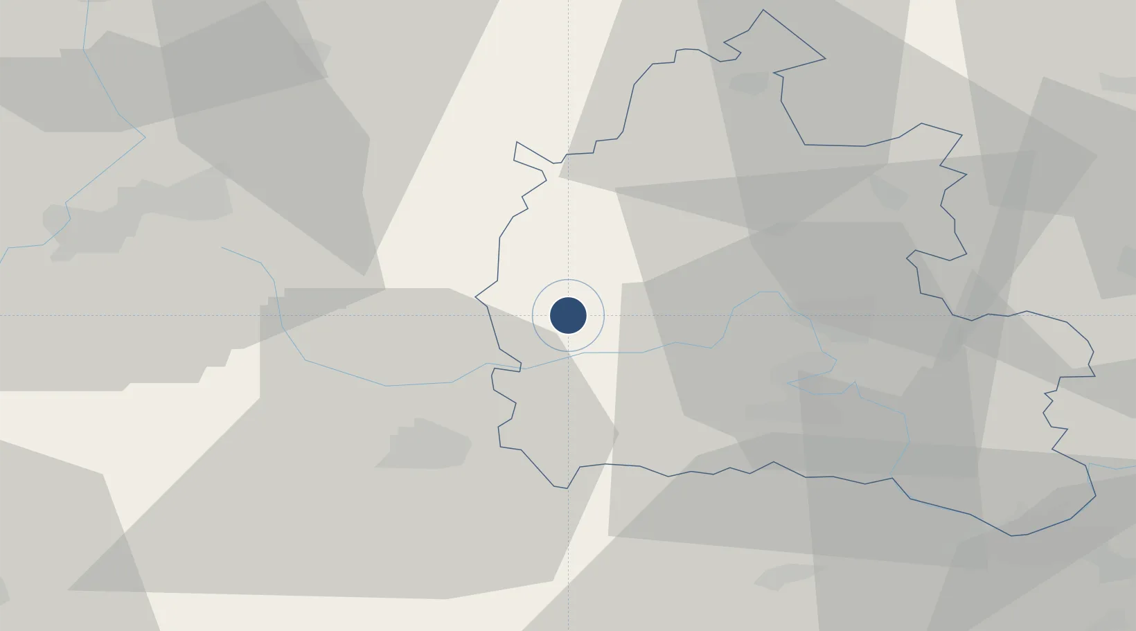
OurAirports

Location

Location of EGVN
Natural Earth 10m (public domain) · Oxfordshire · EGVN · 51.75, -1.58GoogleOSMYandex

Nearby Logistics Neighbours

Airports
  1. 1RAF Fairford16 km
  2. 2London Oxford Airport21 km
  3. 3RAF Benson37 km
  4. 4Gloucestershire Airport43 km
  5. 5MoD Boscombe Down67 km
Nearest neighbours — logibook spatial index (haversine) over the source coordinates
Cities
  1. 1Carterton0 km
  2. 2Kencot3 km
  3. 3Curridge7 km
  4. 4Standlake12 km
  5. 5Coleshill14 km
Nearest neighbours — logibook spatial index (haversine) over the source coordinates
Ports
  1. 1Sharpness62 km
  2. 2Bristol79 km
  3. 3Avonmouth83 km
  4. 4Southampton95 km
  5. 5Bird Port98 km
Nearest neighbours — logibook spatial index (haversine) over the source coordinates
Trade Zones
  1. 1Science Vale Oxfordshire Enterprise Zone24 km
  2. 2Aylesbury Vale53 km
  3. 3Thames Valley Business Growth Hub Berkshire69 km
  4. 4Enviro-Tech Hertfordshire Enterprise Zone71 km
  5. 5Northampton Waterside Enterprise Zone72 km
Nearest neighbours — logibook spatial index (haversine) over the source coordinates
DatabookThe Record of Consolidated Knowledge
United Kingdom beyond logistics?
Browse databook

All Sources

AirportsOurAirports
Public domain
Portsthe NGA World Port Index
Public domain (US gov)
LocationsUN/LOCODE
UN/LOCODE — free
Trade Zonesthe World Bank SEZ database
CC BY 4.0
Trade ZonesOpen Zone Map
CC BY
InfrastructureOpenStreetMap
ODbL 1.0
← United Kingdom airports