Medium airport · United Kingdom

London Oxford AirportEGTK
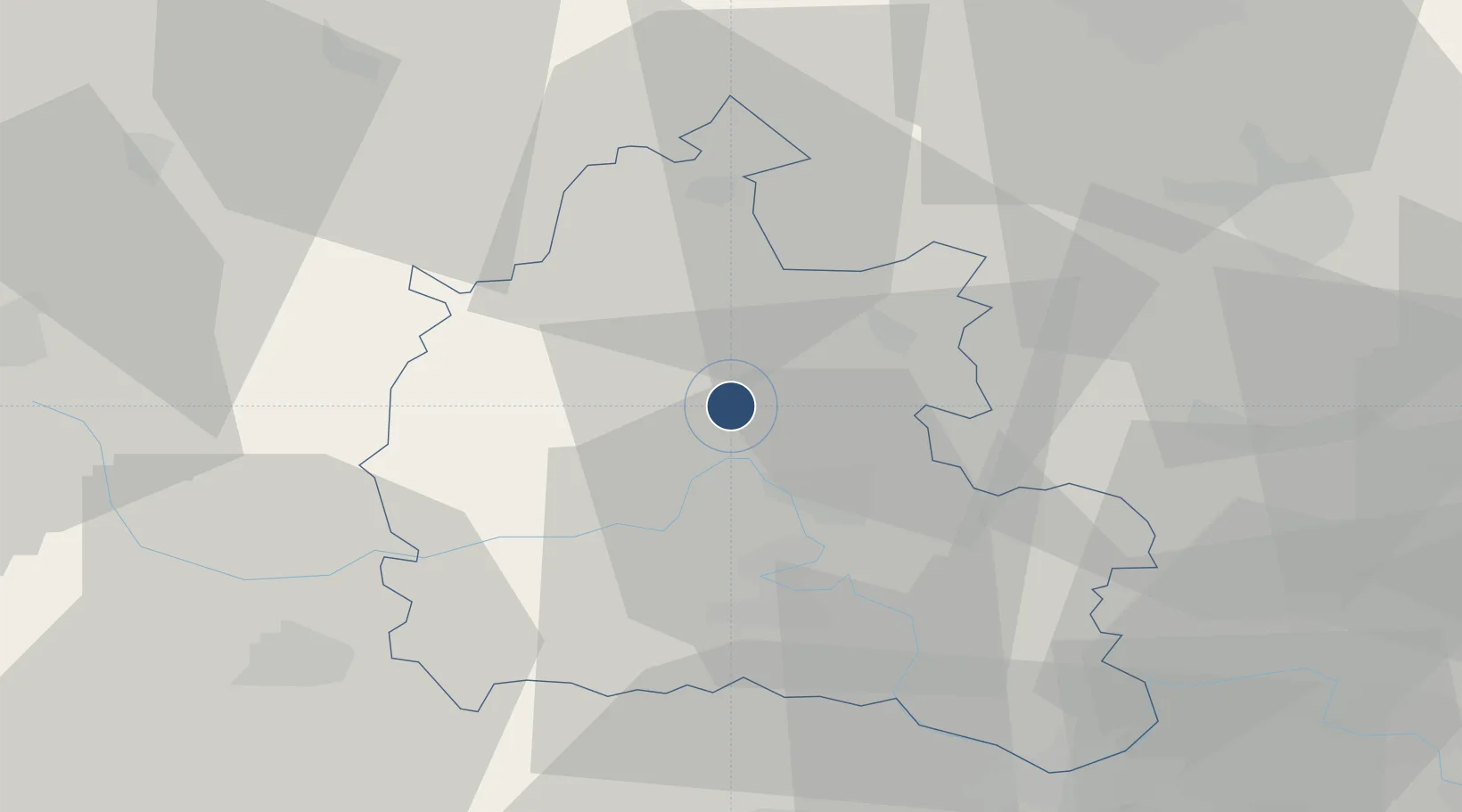
51.8369°, -1.3200°
5,006 ft
Longest runway
1
Runways
270 ft
Elevation

Runway & Layout

London Oxford Airport runway & taxiway layout
Runway & taxiway layout — OpenStreetMap (ODbL) / OurAirports

Radio Frequencies

ATIS
136.225 MHz
OXFORD ATIS
TWR
133.425 MHz
TWR - Use at w/ends
TWR
133.425 MHz
OXFORD TWR
GND
121.95 MHz
OXFORD GND
APP
125.325 MHz
OXFORD APP
APP
127.75 MHz
LARS
124.27 MHz
Brize Radar (normal working hrs only)
OurAirports

Navaids

OX NDB Oxford 368 kHz
OX DME Oxford 117.70 MHz
OurAirports

Runways · 1

RunwayDimensions SurfaceTrue headingLit
01/19 5,006 × 98ft Asphalt 011°
OurAirports

Airport Specifications

IATA code
OXF
OurAirports
ICAO code
EGTK
OurAirports
Airport class
Medium airport
OurAirports
Scheduled service
No
OurAirports
Runway surface
Asphalt
OurAirports
Served city
Kidlington, Oxfordshire
OurAirports

Location

Location of EGTK
Natural Earth 10m (public domain) · Oxfordshire · EGTK · 51.84, -1.32GoogleOSMYandex

Nearby Logistics Neighbours

Airports
  1. 1RAF Brize Norton21 km
  2. 2RAF Benson29 km
  3. 3RAF Fairford37 km
  4. 4Cranfield Airport55 km
  5. 5Gloucestershire Airport59 km
Nearest neighbours — logibook spatial index (haversine) over the source coordinates
Cities
  1. 1Yarnton4 km
  2. 2Cassington6 km
  3. 3Enstone13 km
  4. 4Ardley13 km
  5. 5Standlake15 km
Nearest neighbours — logibook spatial index (haversine) over the source coordinates
Ports
  1. 1Sharpness81 km
  2. 2London93 km
  3. 3Bristol100 km
  4. 4Avonmouth103 km
  5. 5Southampton104 km
Nearest neighbours — logibook spatial index (haversine) over the source coordinates
Trade Zones
  1. 1Science Vale Oxfordshire Enterprise Zone22 km
  2. 2Aylesbury Vale34 km
  3. 3Enviro-Tech Hertfordshire Enterprise Zone53 km
  4. 4Northampton Waterside Enterprise Zone53 km
  5. 5Thames Valley Business Growth Hub Berkshire61 km
Nearest neighbours — logibook spatial index (haversine) over the source coordinates
DatabookThe Record of Consolidated Knowledge
United Kingdom beyond logistics?
Browse databook

All Sources

AirportsOurAirports
Public domain
Portsthe NGA World Port Index
Public domain (US gov)
LocationsUN/LOCODE
UN/LOCODE — free
Trade Zonesthe World Bank SEZ database
CC BY 4.0
Trade ZonesOpen Zone Map
CC BY
InfrastructureOpenStreetMap
ODbL 1.0
← United Kingdom airports