Transport Functions
Rail
Road
Multimodal
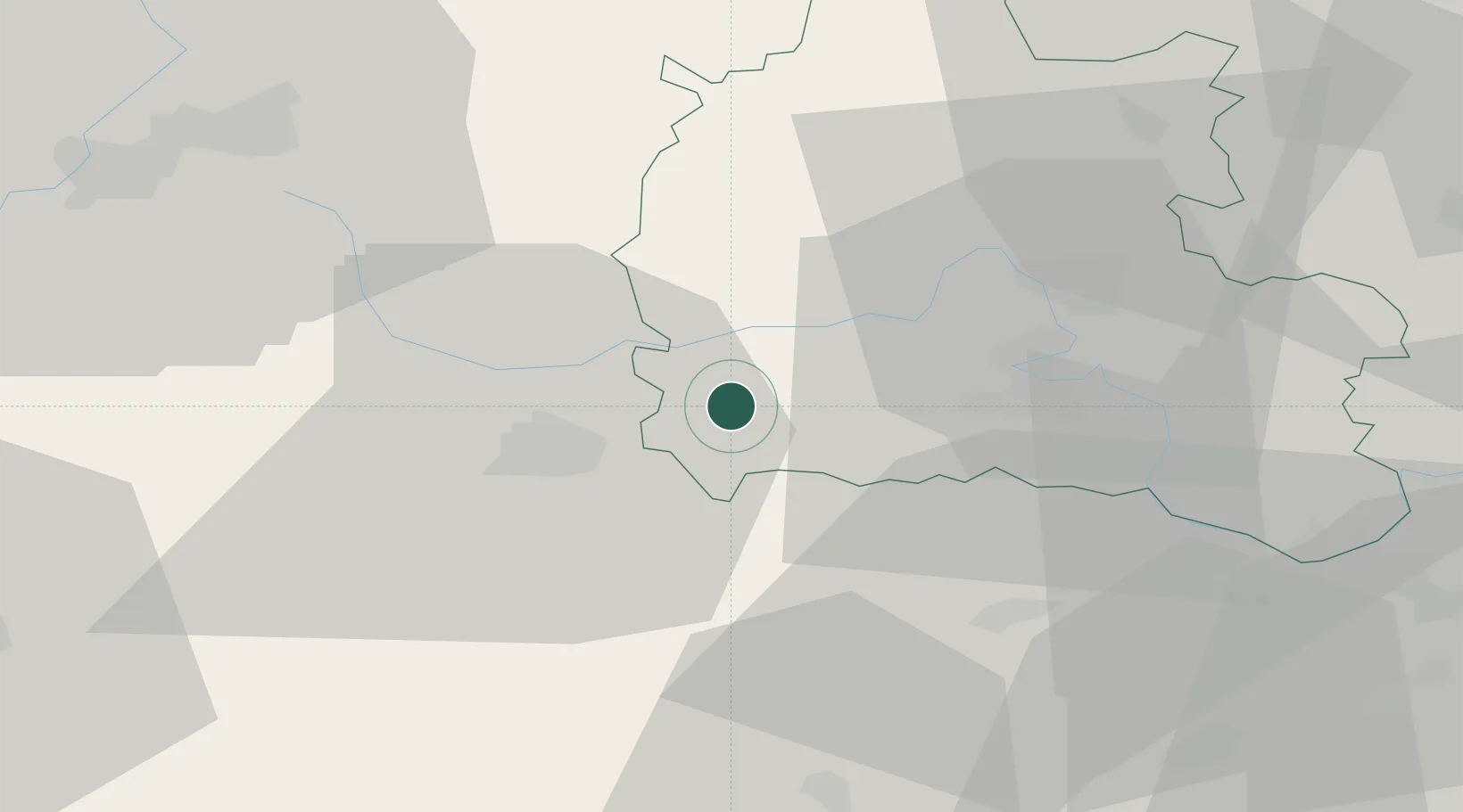
Hub Profile
Place type
Populated place
Region
England
Time zone
Europe/London
Elevation
90 m
Location
Nearby Logistics Neighbours
Ports
- 1Sharpness63 km
- 2Bristol75 km
- 3Avonmouth79 km
- 4Southampton81 km
- 5Fawley Marine Terminal91 km
Airports
- 1RAF Brize Norton15 km
- 2RAF Fairford16 km
- 3London Oxford Airport31 km
- 4RAF Benson34 km
- 5Gloucestershire Airport51 km
Trade Zones
DatabookThe Record of Consolidated Knowledge
United Kingdom beyond logistics?