UN/LOCODE hub · United Kingdom
GBZAM
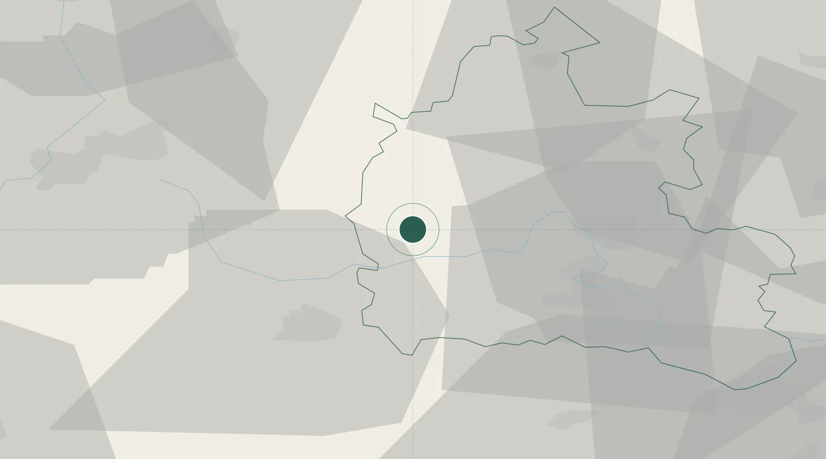
Carterton
51.7500°, -1.5833°
16,364
Population
1
Transport functions
Transport Functions
Multimodal
Hub Profile
Place type
Populated place
Region
England
Population
16,364
Time zone
Europe/London
Elevation
93 m
Location
Nearby Logistics Neighbours
Ports
- 1Sharpness62 km
- 2Bristol79 km
- 3Avonmouth83 km
- 4Southampton95 km
- 5Bird Port98 km
Airports
- 1RAF Brize Norton0 km
- 2RAF Fairford16 km
- 3London Oxford Airport21 km
- 4RAF Benson37 km
- 5Gloucestershire Airport43 km
DatabookThe Record of Consolidated Knowledge
United Kingdom beyond logistics?