Transport Functions
Multimodal
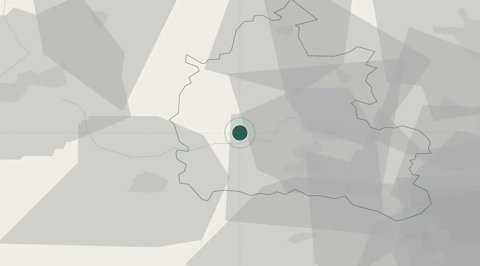
Hub Profile
Place type
Populated place
Region
England
Time zone
Europe/London
Elevation
111 m
Location
Nearby Logistics Neighbours
Cities
- 1Standlake5 km
- 2Carterton7 km
- 3Kencot9 km
- 4Cassington12 km
- 5Yarnton15 km
Ports
- 1Sharpness69 km
- 2Bristol85 km
- 3Avonmouth89 km
- 4Southampton93 km
- 5London100 km
Airports
- 1RAF Brize Norton7 km
- 2London Oxford Airport16 km
- 3RAF Fairford22 km
- 4RAF Benson30 km
- 5Gloucestershire Airport50 km
DatabookThe Record of Consolidated Knowledge
United Kingdom beyond logistics?