UN/LOCODE hub · United Kingdom
GBTND
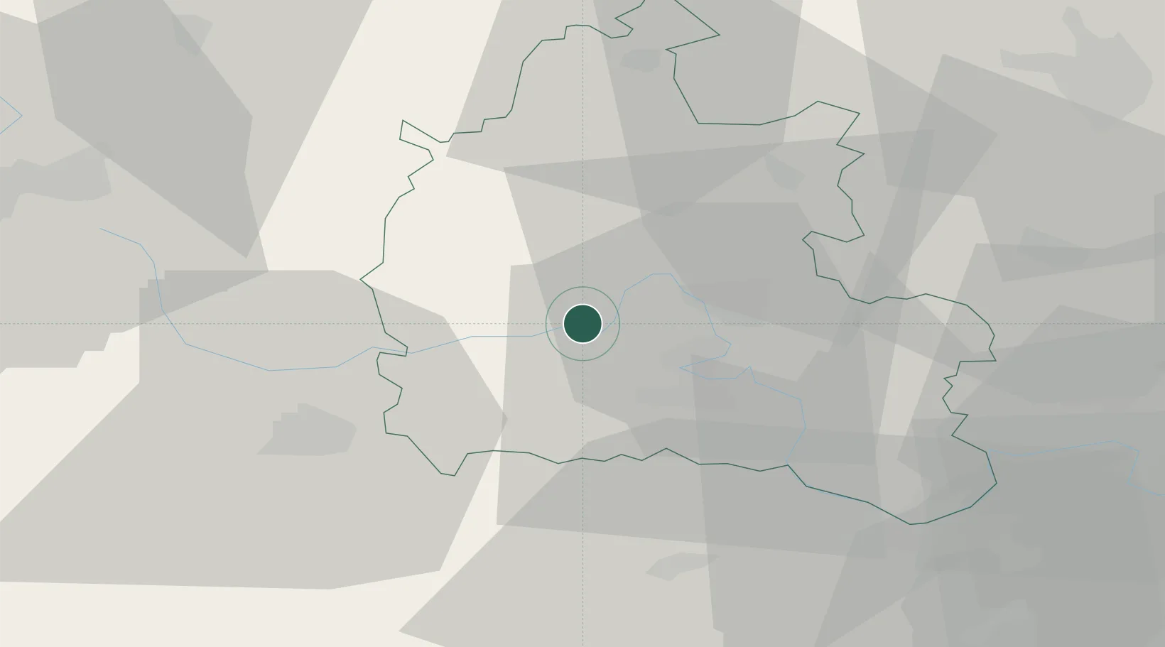
Standlake
51.7167°, -1.4167°
1,149
Population
2
Transport functions
Transport Functions
Port
Road
Hub Profile
Place type
Populated place
Region
England
Population
1,149
Time zone
Europe/London
Elevation
68 m
Location
Nearby Logistics Neighbours
Cities
- 1Curridge5 km
- 2Cassington9 km
- 3Carterton12 km
- 4Yarnton12 km
- 5Steventon13 km
Ports
- 1Sharpness74 km
- 2Bristol89 km
- 3Southampton91 km
- 4Avonmouth93 km
- 5London95 km
Airports
- 1RAF Brize Norton12 km
- 2London Oxford Airport15 km
- 3RAF Benson25 km
- 4RAF Fairford26 km
- 5Gloucestershire Airport55 km
Trade Zones
DatabookThe Record of Consolidated Knowledge
United Kingdom beyond logistics?