Transport Functions
Multimodal
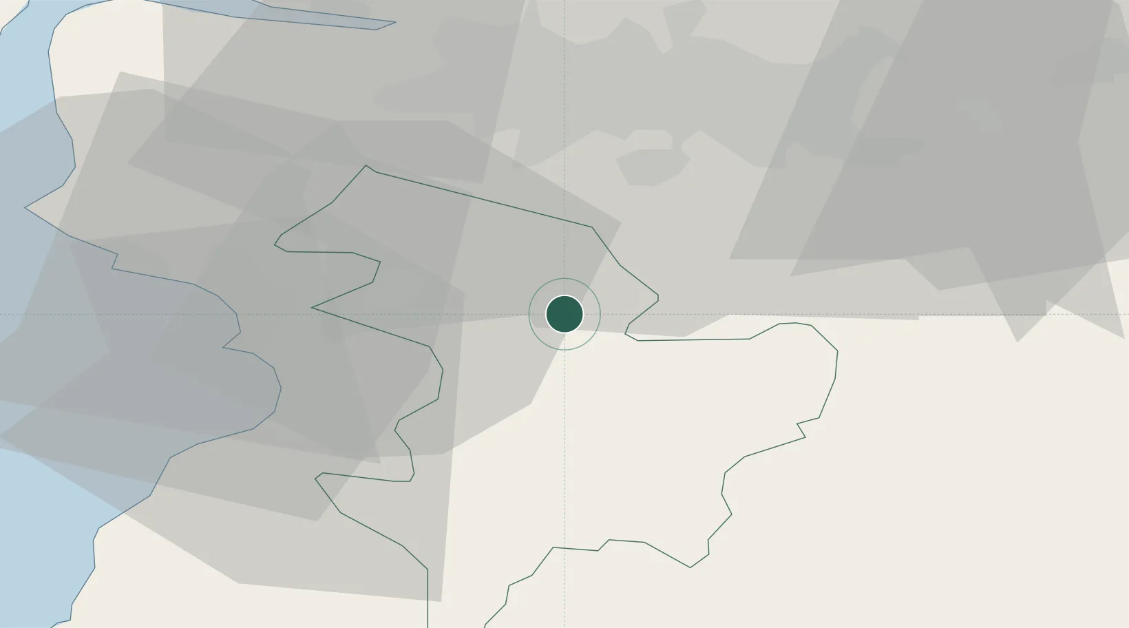
Hub Profile
Place type
Populated place
Region
Scotland
Population
3,860
Time zone
Europe/London
Elevation
104 m
Location
Nearby Logistics Neighbours
Cities
- 1Mauchline9 km
- 2Fenwick12 km
- 3Muirkirk16 km
- 4Strathaven17 km
- 5Symington19 km
Airports
- 1Glasgow Prestwick Airport21 km
- 2Glasgow Airport33 km
- 3Edinburgh Airport70 km
- 4Campbeltown Airport90 km
- 5Carlisle Lake District Airport118 km
Trade Zones
DatabookThe Record of Consolidated Knowledge
United Kingdom beyond logistics?