Transport Functions
Multimodal
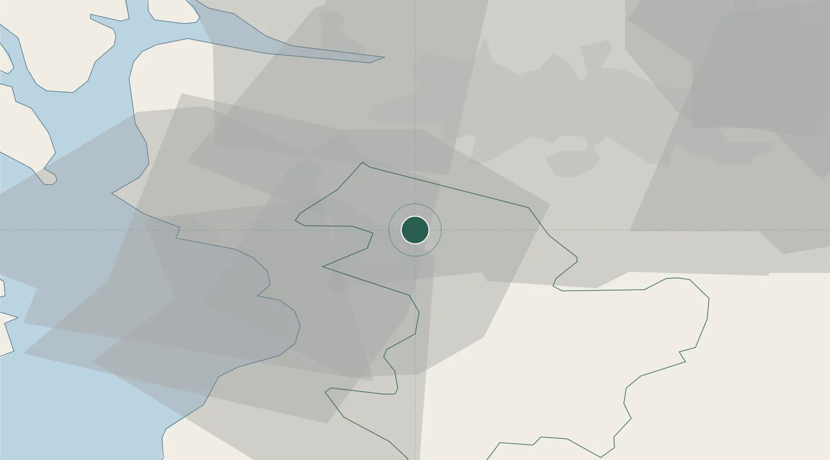
Hub Profile
Place type
Populated place
Region
Scotland
Population
1,070
Time zone
Europe/London
Elevation
137 m
Location
Nearby Logistics Neighbours
Airports
- 1Glasgow Prestwick Airport19 km
- 2Glasgow Airport25 km
- 3Edinburgh Airport74 km
- 4Campbeltown Airport82 km
- 5Oban Airport109 km
Trade Zones
DatabookThe Record of Consolidated Knowledge
United Kingdom beyond logistics?