UN/LOCODE hub · United Kingdom
GBEEH
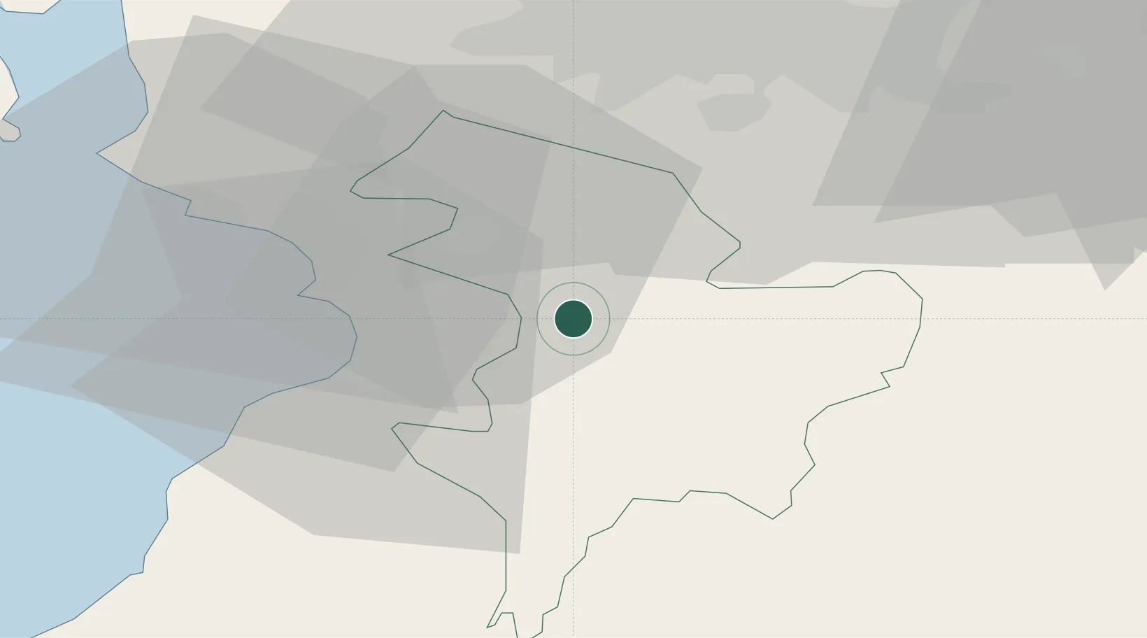
Mauchline
55.5167°, -4.3667°
4,130
Population
1
Transport functions
Transport Functions
Multimodal
Hub Profile
Place type
Populated place
Region
Scotland
Population
4,130
Time zone
Europe/London
Elevation
145 m
Location
Nearby Logistics Neighbours
Cities
- 1Darvel9 km
- 2Symington13 km
- 3Saint Quivox13 km
- 4Monkton15 km
- 5Fenwick15 km
Airports
- 1Glasgow Prestwick Airport13 km
- 2Glasgow Airport40 km
- 3Edinburgh Airport79 km
- 4Campbeltown Airport84 km
- 5Carlisle Lake District Airport118 km
Trade Zones
DatabookThe Record of Consolidated Knowledge
United Kingdom beyond logistics?