UN/LOCODE hub · United Kingdom
GBURT

Sturton by Stow

53.3000°, -0.6500°
1
Transport functions

Transport Functions

Port
UN/LOCODE

Hub Profile

Region
LIN
GeoNames

Location

Location of GBURT
Natural Earth 10m (public domain) · LIN · GBURT · 53.30, -0.65GoogleOSMYandex

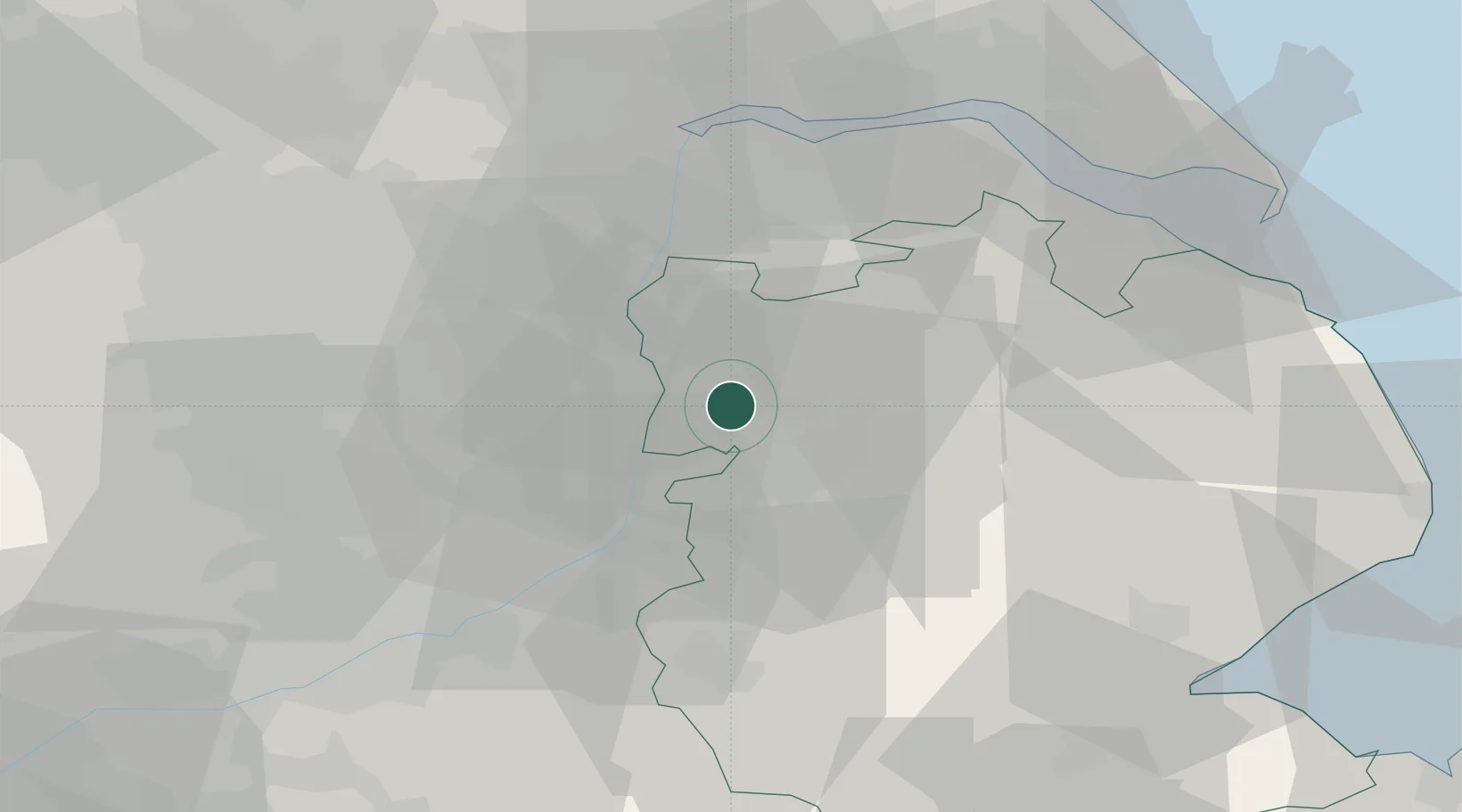
Nearby Logistics Neighbours

Cities
  1. 1Metheringham8 km
  2. 2Mangotsfield8 km
  3. 3Birchwood8 km
  4. 4North Scarle12 km
  5. 5Caenby14 km
Nearest neighbours — logibook spatial index (haversine) over the source coordinates
Ports
  1. 1Goole46 km
  2. 2Immingham48 km
  3. 3New Holland48 km
  4. 4Grimsby50 km
  5. 5Howdendyke51 km
Nearest neighbours — logibook spatial index (haversine) over the source coordinates
Airports
  1. 1RAF Waddington17 km
  2. 2RAF Cranwell32 km
  3. 3Humberside Airport37 km
  4. 4RAF Barkston Heath38 km
  5. 5RAF Coningsby40 km
Nearest neighbours — logibook spatial index (haversine) over the source coordinates
Trade Zones
  1. 1Nottingham D2N2 Enterprise Zone53 km
  2. 2Humber Enterprise Zone53 km
  3. 3Sheffield City Region Enterprise Zone55 km
  4. 4Humberside Free Zone57 km
  5. 5Infinity Park Derby Enterprise Zone72 km
Nearest neighbours — logibook spatial index (haversine) over the source coordinates
DatabookThe Record of Consolidated Knowledge
United Kingdom beyond logistics?
Browse databook

All Sources

LocationsUN/LOCODE
UN/LOCODE — free
Portsthe NGA World Port Index
Public domain (US gov)
AirportsOurAirports
Public domain
Trade Zonesthe World Bank SEZ database
CC BY 4.0
Trade ZonesOpen Zone Map
CC BY
← United Kingdom locations