Transport Functions
Port
Multimodal
Hub Profile
Place type
Populated place
Region
England
Time zone
Europe/London
Elevation
21 m
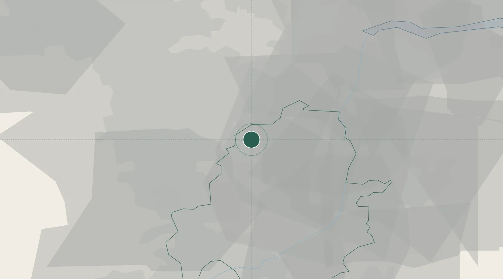
Location
Nearby Logistics Neighbours
Cities
- 1Carlton in Lindrick4 km
- 2Colsterworth5 km
- 3Bramley14 km
- 4Misterton17 km
- 5Barlborough17 km
Ports
- 1Goole40 km
- 2Howdendyke43 km
- 3New Holland59 km
- 4Immingham65 km
- 5Kingston Upon Hull67 km
Airports
- 1RAF Waddington42 km
- 2Nottingham City Airport50 km
- 3Leeds East Airport53 km
- 4Humberside Airport53 km
- 5RAF Cranwell54 km
Trade Zones
DatabookThe Record of Consolidated Knowledge
United Kingdom beyond logistics?