Transport Functions
Road
Multimodal
Hub Profile
Place type
District seat
Region
England
Time zone
Europe/London
Elevation
132 m
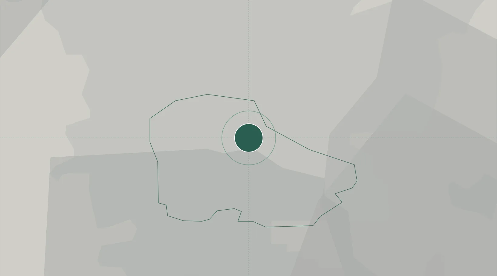
Location
Nearby Logistics Neighbours
Cities
- 1Gotham5 km
- 2Rotherham8 km
- 3Sheffield10 km
- 4Darnall11 km
- 5Attercliffe11 km
Ports
- 1Goole43 km
- 2Howdendyke43 km
- 3Manchester67 km
- 4New Holland67 km
- 5Immingham75 km
Airports
- 1Leeds East Airport47 km
- 2Leeds Bradford Airport56 km
- 3Nottingham City Airport57 km
- 4RAF Waddington57 km
- 5Humberside Airport63 km
Trade Zones
DatabookThe Record of Consolidated Knowledge
United Kingdom beyond logistics?