UN/LOCODE hub · United Kingdom
GBXCO
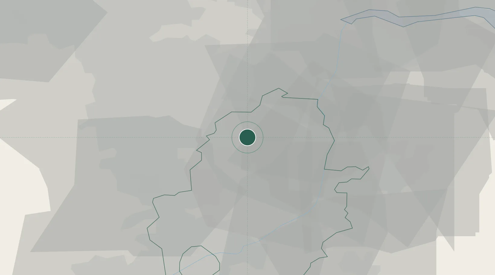
Colsterworth
53.3333°, -1.0167°
1,245
Population
1
Transport functions
Transport Functions
Multimodal
Hub Profile
Place type
Populated place
Region
England
Population
1,245
Time zone
Europe/London
Elevation
105 m
Location
Nearby Logistics Neighbours
Cities
- 1Blyth5 km
- 2Carlton in Lindrick7 km
- 3Ollerton15 km
- 4Boughton15 km
- 5Misterton17 km
Ports
- 1Goole43 km
- 2Howdendyke45 km
- 3New Holland59 km
- 4Immingham64 km
- 5Kingston Upon Hull67 km
Airports
- 1RAF Waddington38 km
- 2Nottingham City Airport46 km
- 3RAF Cranwell49 km
- 4RAF Barkston Heath52 km
- 5Humberside Airport52 km
Trade Zones
DatabookThe Record of Consolidated Knowledge
United Kingdom beyond logistics?