UN/LOCODE hub · United Kingdom
GBMST
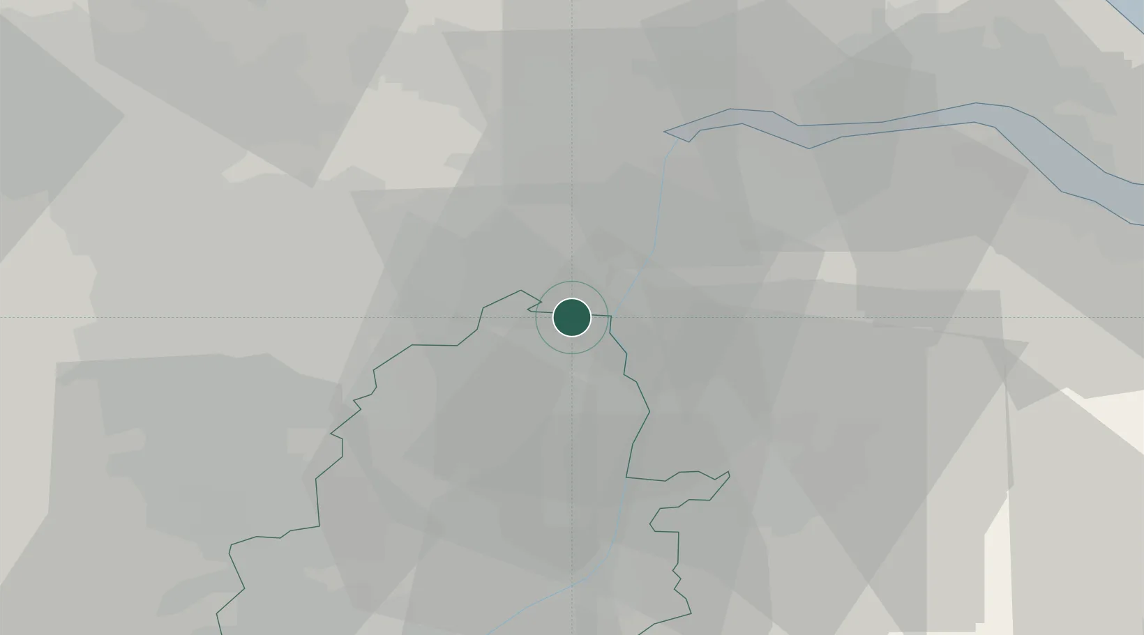
Misterton
53.4500°, -0.8500°
1,862
Population
2
Transport functions
Transport Functions
Rail
Road
Hub Profile
Place type
Populated place
Region
England
Population
1,862
Time zone
Europe/London
Elevation
12 m
Location
Nearby Logistics Neighbours
Cities
- 1Belton10 km
- 2Messingham15 km
- 3Althorpe17 km
- 4Colsterworth17 km
- 5Blyth17 km
Ports
- 1Goole28 km
- 2Howdendyke32 km
- 3New Holland42 km
- 4Immingham48 km
- 5Kingston Upon Hull50 km
Airports
- 1Humberside Airport36 km
- 2RAF Waddington38 km
- 3Leeds East Airport48 km
- 4RAF Cranwell53 km
- 5RAF Barkston Heath58 km
Trade Zones
DatabookThe Record of Consolidated Knowledge
United Kingdom beyond logistics?