UN/LOCODE hub · United Kingdom
GBTAM

Tameside

53.4833°, -2.0833°
1
Transport functions

Transport Functions

Port
UN/LOCODE

Hub Profile

Region
TAM
GeoNames

Location

Location of GBTAM
Natural Earth 10m (public domain) · TAM · GBTAM · 53.48, -2.08GoogleOSMYandex

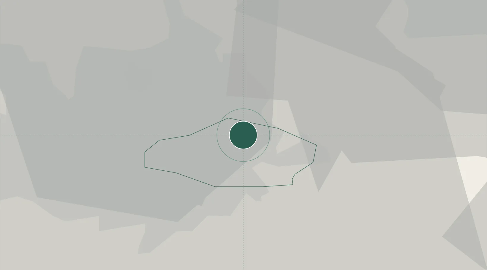
Nearby Logistics Neighbours

Cities
  1. 1Audenshaw2 km
  2. 2Droylsden4 km
  3. 3Failsworth5 km
  4. 4Mossley6 km
  5. 5Clayton7 km
Nearest neighbours — logibook spatial index (haversine) over the source coordinates
Ports
  1. 1Manchester12 km
  2. 2Garlston56 km
  3. 3Liverpool61 km
  4. 4Lancaster78 km
  5. 5Fleetwood78 km
Nearest neighbours — logibook spatial index (haversine) over the source coordinates
Airports
  1. 1Manchester Airport20 km
  2. 2Leeds Bradford Airport51 km
  3. 3Liverpool John Lennon Airport53 km
  4. 4Warton Aerodrome60 km
  5. 5Hawarden Airport68 km
Nearest neighbours — logibook spatial index (haversine) over the source coordinates
Trade Zones
  1. 1Oxford Road Corridor Enterprise Zone10 km
  2. 2Manchester Airport City Enterprise Zone19 km
  3. 3Sci-Tech Daresbury Enterprise Zone40 km
  4. 4Sheffield City Region Enterprise Zone43 km
  5. 5Aire Valley Leeds Enterprise Zone52 km
Nearest neighbours — logibook spatial index (haversine) over the source coordinates
DatabookThe Record of Consolidated Knowledge
United Kingdom beyond logistics?
Browse databook

All Sources

LocationsUN/LOCODE
UN/LOCODE — free
Portsthe NGA World Port Index
Public domain (US gov)
AirportsOurAirports
Public domain
Trade Zonesthe World Bank SEZ database
CC BY 4.0
Trade ZonesOpen Zone Map
CC BY
← United Kingdom locations