Transport Functions
Multimodal
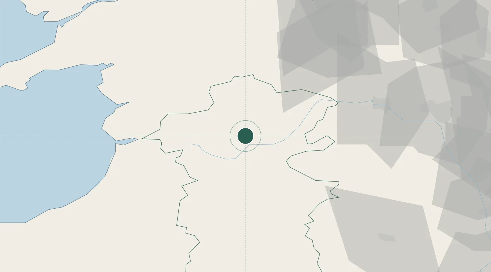
Hub Profile
Place type
Populated place
Region
Wales
Time zone
Europe/London
Elevation
172 m
Location
Nearby Logistics Neighbours
Cities
- 1Montgomery Trefaldwyn17 km
- 2Bishops Castle29 km
- 3Norbury32 km
- 4Little Brampton37 km
- 5Clunbury38 km
Ports
- 1Mostyn84 km
- 2Caernarvon86 km
- 3Garlston94 km
- 4Liverpool99 km
- 5Neath108 km
Airports
- 1RAF Shawbury57 km
- 2Hawarden Airport74 km
- 3RAF Cosford76 km
- 4Liverpool John Lennon Airport94 km
- 5Anglesey Airport107 km
Trade Zones
DatabookThe Record of Consolidated Knowledge
United Kingdom beyond logistics?