UN/LOCODE hub · United Kingdom
GBQWR
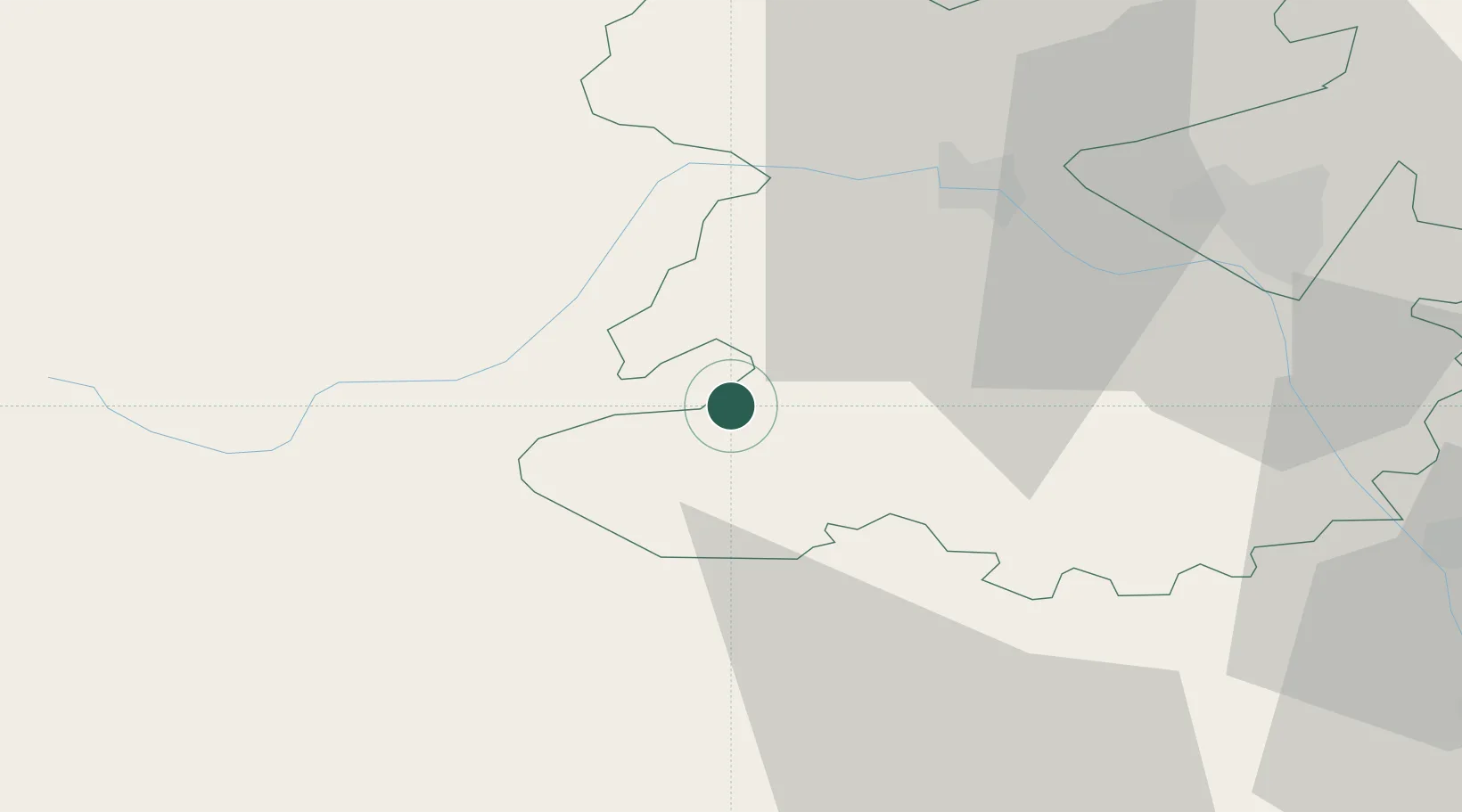
Bishops Castle
52.5000°, -3.0000°
1,893
Population
2
Transport functions
Transport Functions
Port
Multimodal
Hub Profile
Place type
Populated place
Region
England
Population
1,893
Time zone
Europe/London
Elevation
200 m
Location
Nearby Logistics Neighbours
Cities
- 1Norbury5 km
- 2Little Brampton10 km
- 3Clunbury11 km
- 4Montgomery Trefaldwyn15 km
- 5Bedstone16 km
Airports
- 1RAF Shawbury40 km
- 2RAF Cosford50 km
- 3Hawarden Airport75 km
- 4Birmingham Airport85 km
- 5Gloucestershire Airport88 km
Trade Zones
DatabookThe Record of Consolidated Knowledge
United Kingdom beyond logistics?