UN/LOCODE hub · United Kingdom
GBMMY

Montgomery Trefaldwyn

52.5833°, -3.1667°
3
Transport functions

Transport Functions

Rail
Road
Multimodal
UN/LOCODE

Location

Location of GBMMY
Natural Earth 10m (public domain) · Powys · GBMMY · 52.58, -3.17GoogleOSMYandex

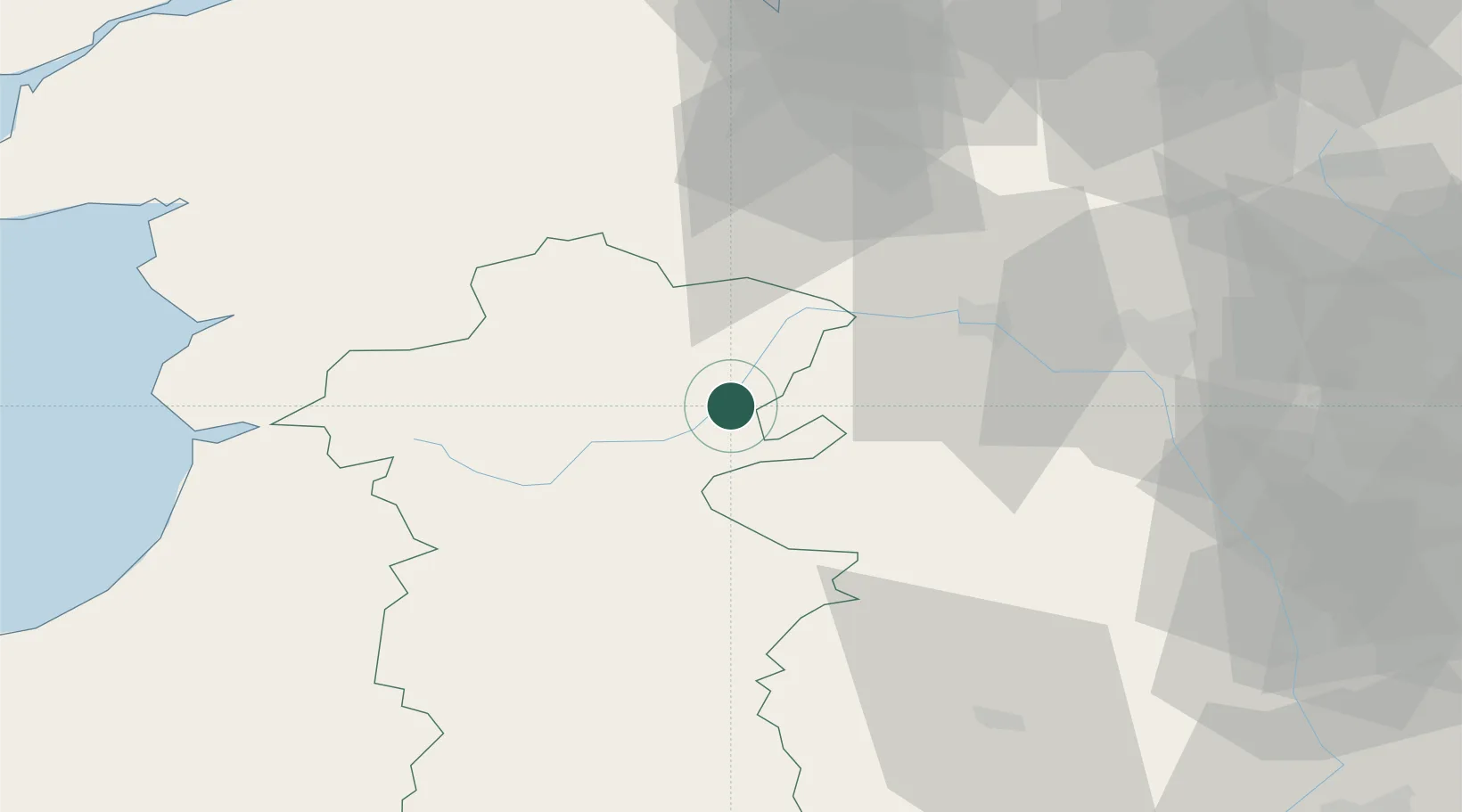
Nearby Logistics Neighbours

Cities
  1. 1Bishops Castle15 km
  2. 2Norbury16 km
  3. 3Llangorse17 km
  4. 4Little Brampton24 km
  5. 5Clunbury25 km
Nearest neighbours — logibook spatial index (haversine) over the source coordinates
Ports
  1. 1Mostyn82 km
  2. 2Garlston87 km
  3. 3Liverpool93 km
  4. 4Caernarvon97 km
  5. 5Sharpness107 km
Nearest neighbours — logibook spatial index (haversine) over the source coordinates
Airports
  1. 1RAF Shawbury41 km
  2. 2RAF Cosford59 km
  3. 3Hawarden Airport67 km
  4. 4Liverpool John Lennon Airport86 km
  5. 5Birmingham Airport97 km
Nearest neighbours — logibook spatial index (haversine) over the source coordinates
Trade Zones
  1. 1Hereford Enterprise Zone69 km
  2. 2Cheshire Science Corridor74 km
  3. 3Black Country Enterprise Zone74 km
  4. 4Birmingham City Centre Enterprise Zone86 km
  5. 5Ceramics Valley88 km
Nearest neighbours — logibook spatial index (haversine) over the source coordinates
DatabookThe Record of Consolidated Knowledge
United Kingdom beyond logistics?
Browse databook

All Sources

LocationsUN/LOCODE
UN/LOCODE — free
Portsthe NGA World Port Index
Public domain (US gov)
AirportsOurAirports
Public domain
Trade Zonesthe World Bank SEZ database
CC BY 4.0
Trade ZonesOpen Zone Map
CC BY
← United Kingdom locations