Transport Functions
Road
Multimodal
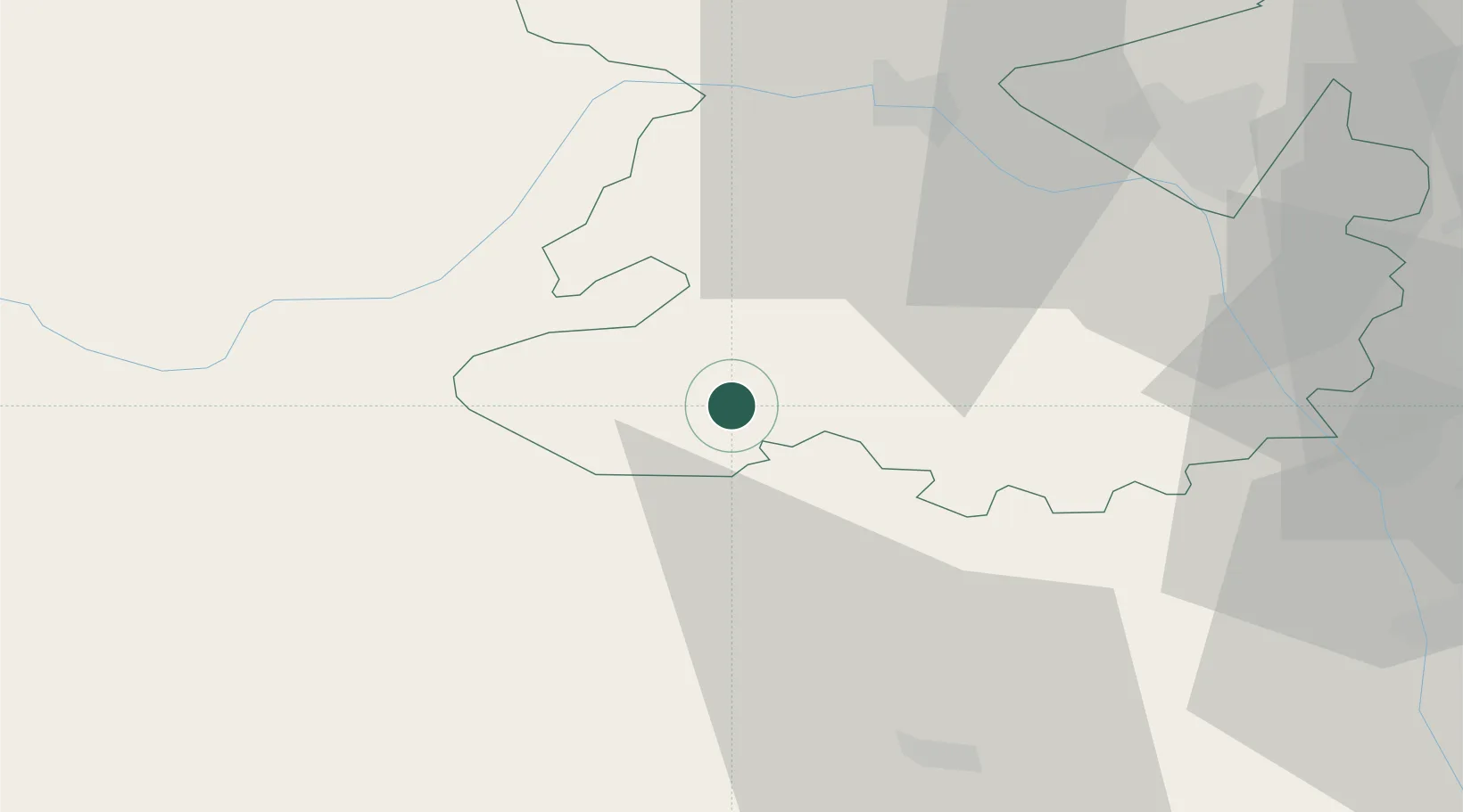
Hub Profile
Place type
Populated place
Region
England
Time zone
Europe/London
Elevation
167 m
Location
Nearby Logistics Neighbours
Cities
- 1Clunbury1 km
- 2Bedstone6 km
- 3Bishops Castle10 km
- 4Norbury13 km
- 5Shobdon19 km
Airports
- 1RAF Shawbury46 km
- 2RAF Cosford49 km
- 3Gloucestershire Airport78 km
- 4Birmingham Airport81 km
- 5Hawarden Airport85 km
Trade Zones
DatabookThe Record of Consolidated Knowledge
United Kingdom beyond logistics?