UN/LOCODE hub · United Kingdom
GBNYB

Norbury

52.5333°, -2.9500°
2
Transport functions

Transport Functions

Rail
Road
UN/LOCODE

Hub Profile

Place type
District seat
GeoNames
Region
England
GeoNames
Time zone
Europe/London
GeoNames
Elevation
267 m
GeoNames

Location

Location of GBNYB
Natural Earth 10m (public domain) · England · GBNYB · 52.53, -2.95GoogleOSMYandex

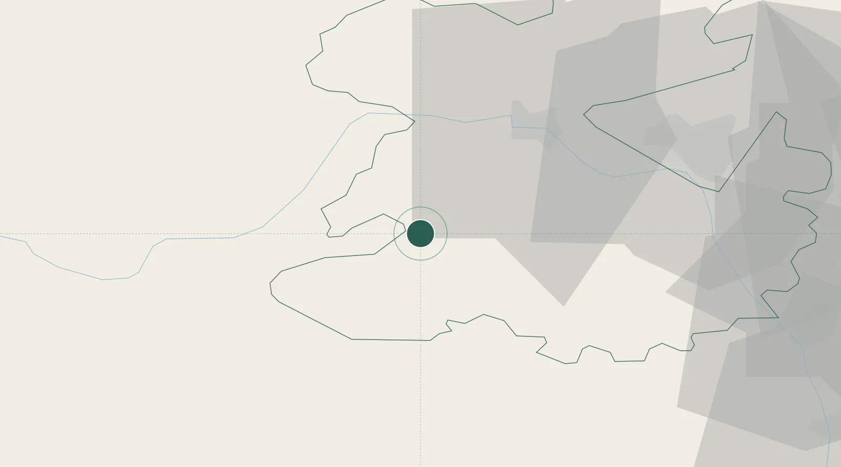
Nearby Logistics Neighbours

Cities
  1. 1Bishops Castle5 km
  2. 2Little Brampton13 km
  3. 3Clunbury13 km
  4. 4Montgomery Trefaldwyn16 km
  5. 5Bedstone19 km
Nearest neighbours — logibook spatial index (haversine) over the source coordinates
Ports
  1. 1Mostyn90 km
  2. 2Garlston91 km
  3. 3Sharpness96 km
  4. 4Liverpool98 km
  5. 5Bird Port108 km
Nearest neighbours — logibook spatial index (haversine) over the source coordinates
Airports
  1. 1RAF Shawbury35 km
  2. 2RAF Cosford45 km
  3. 3Hawarden Airport72 km
  4. 4Birmingham Airport82 km
  5. 5Gloucestershire Airport89 km
Nearest neighbours — logibook spatial index (haversine) over the source coordinates
Trade Zones
  1. 1Hereford Enterprise Zone58 km
  2. 2Black Country Enterprise Zone59 km
  3. 3Birmingham City Centre Enterprise Zone71 km
  4. 4Cheshire Science Corridor76 km
  5. 5Ceramics Valley78 km
Nearest neighbours — logibook spatial index (haversine) over the source coordinates
DatabookThe Record of Consolidated Knowledge
United Kingdom beyond logistics?
Browse databook

All Sources

LocationsUN/LOCODE
UN/LOCODE — free
Portsthe NGA World Port Index
Public domain (US gov)
AirportsOurAirports
Public domain
Trade Zonesthe World Bank SEZ database
CC BY 4.0
Trade ZonesOpen Zone Map
CC BY
← United Kingdom locations