UN/LOCODE hub · United Kingdom
GBKIM

Kimmeridge

50.6167°, -2.1167°
1
Transport functions

Transport Functions

Port
UN/LOCODE

Hub Profile

Place type
Populated place
GeoNames
Region
England
GeoNames
Time zone
Europe/London
GeoNames
Elevation
66 m
GeoNames

Location

Location of GBKIM
Natural Earth 10m (public domain) · England · GBKIM · 50.62, -2.12GoogleOSMYandex

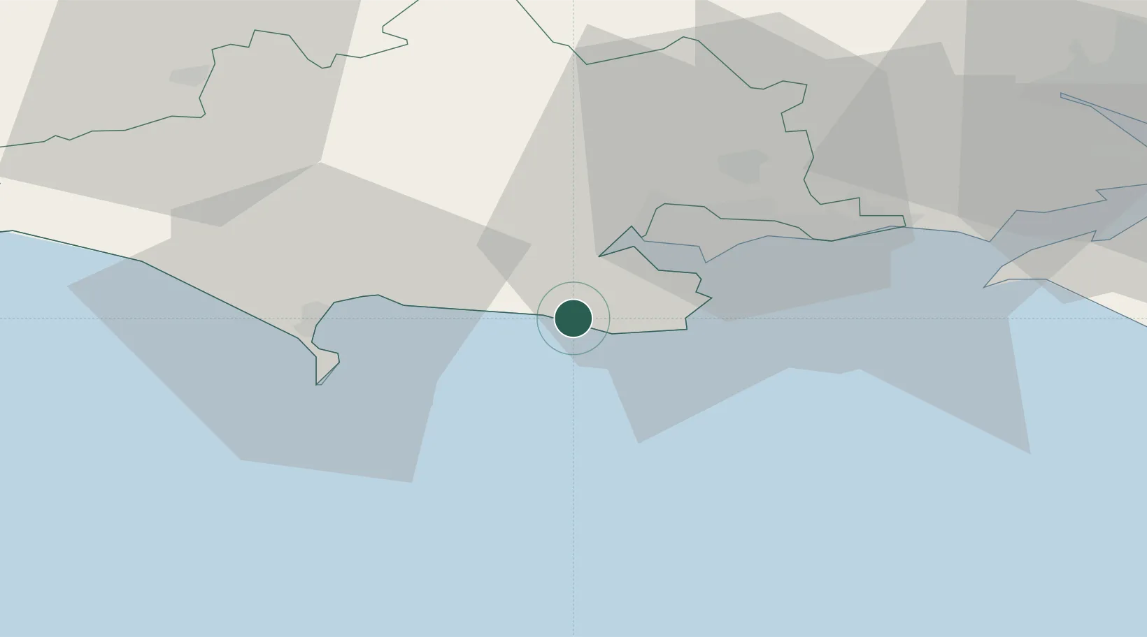
Nearby Logistics Neighbours

Cities
  1. 1Furzebrook4 km
  2. 2Wareham7 km
  3. 3Lulworth Camp8 km
  4. 4Lulworth Cove9 km
  5. 5Swanage11 km
Nearest neighbours — logibook spatial index (haversine) over the source coordinates
Ports
  1. 1Poole Harbour14 km
  2. 2Portland Harbour23 km
  3. 3Weymouth Harbour24 km
  4. 4Yarmouth Harbour44 km
  5. 5Bridport Harbour47 km
Nearest neighbours — logibook spatial index (haversine) over the source coordinates
Airports
  1. 1Bournemouth Airport27 km
  2. 2RNAS Yeovilton57 km
  3. 3MoD Boscombe Down65 km
  4. 4Southampton Airport65 km
  5. 5Exeter International Airport92 km
Nearest neighbours — logibook spatial index (haversine) over the source coordinates
Trade Zones
  1. 1Dorset Innovation Park12 km
  2. 2Southampton Free Zone58 km
  3. 3Solent Enterprise Zone77 km
  4. 4EZ³ Enterprise Zone79 km
  5. 5Exeter & East Devon Enterprise Zone95 km
Nearest neighbours — logibook spatial index (haversine) over the source coordinates
DatabookThe Record of Consolidated Knowledge
United Kingdom beyond logistics?
Browse databook

All Sources

LocationsUN/LOCODE
UN/LOCODE — free
Portsthe NGA World Port Index
Public domain (US gov)
AirportsOurAirports
Public domain
Trade Zonesthe World Bank SEZ database
CC BY 4.0
Trade ZonesOpen Zone Map
CC BY
← United Kingdom locations