UN/LOCODE hub · United Kingdom
GBWOT
Worthing
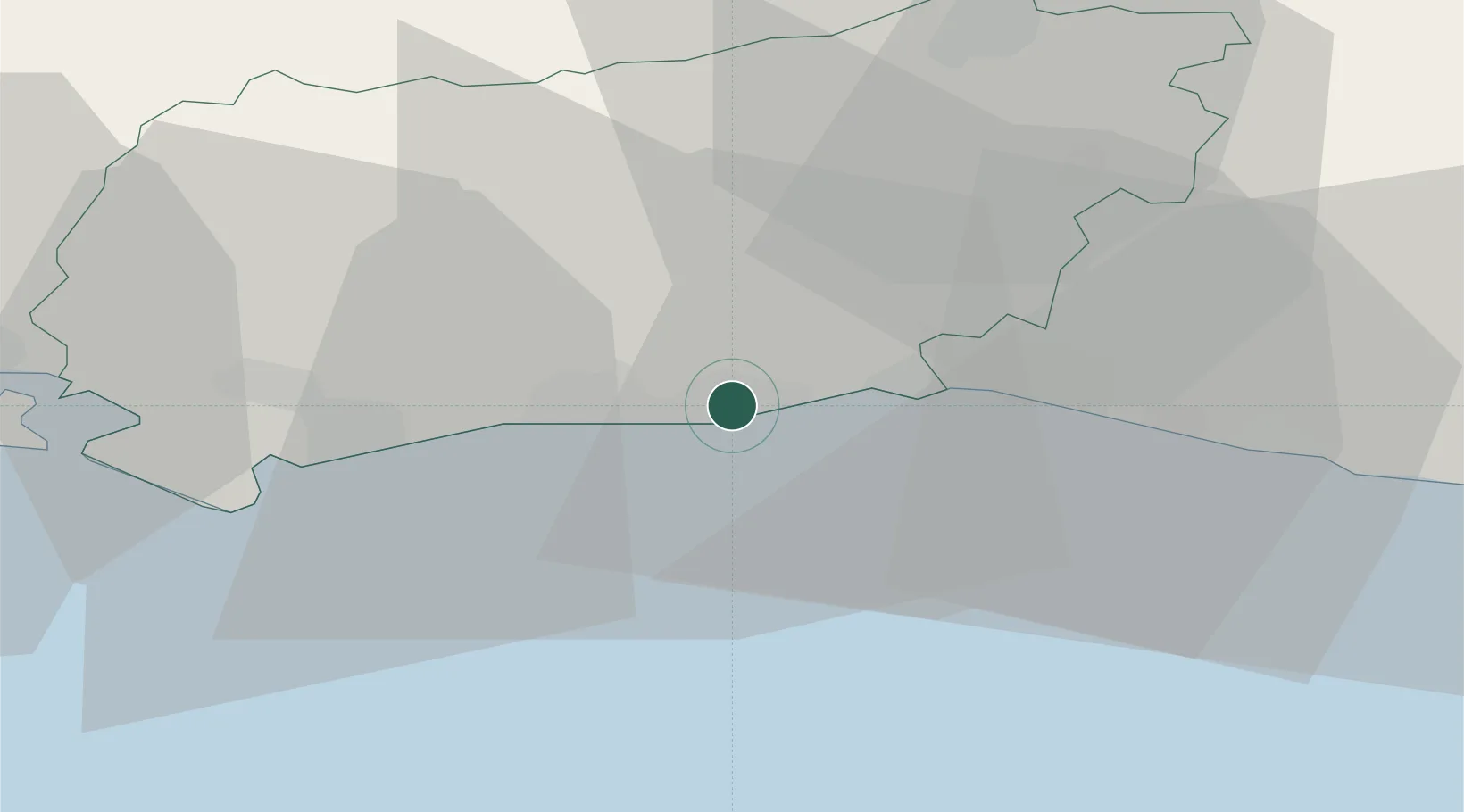
50.8167°, -0.3833°
99,110
Population
3
Transport functions
Transport Functions
Port
Rail
Road
Hub Profile
Place type
Populated place
Region
England
Population
99,110
Time zone
Europe/London
Elevation
7 m
Location
Nearby Logistics Neighbours
Cities
- 1Sompting2 km
- 2Ferring5 km
- 3Shoreham-by-Sea8 km
- 4Rustington9 km
- 5Southwick11 km
Ports
- 1Shoreham Harbour9 km
- 2Littlehampton Harbour11 km
- 3Newhaven Harbour31 km
- 4Portsmouth Harbour50 km
- 5Cowes Harbour65 km
Airports
- 1Brighton City Airport6 km
- 2London Gatwick Airport39 km
- 3Farnborough Airport58 km
- 4RAF Odiham61 km
- 5Lasham Airfield61 km
Trade Zones
DatabookThe Record of Consolidated Knowledge
United Kingdom beyond logistics?