Transport Functions
Port
Rail
Road
Hub Profile
Place type
Populated place
Region
England
Time zone
Europe/London
Elevation
7 m
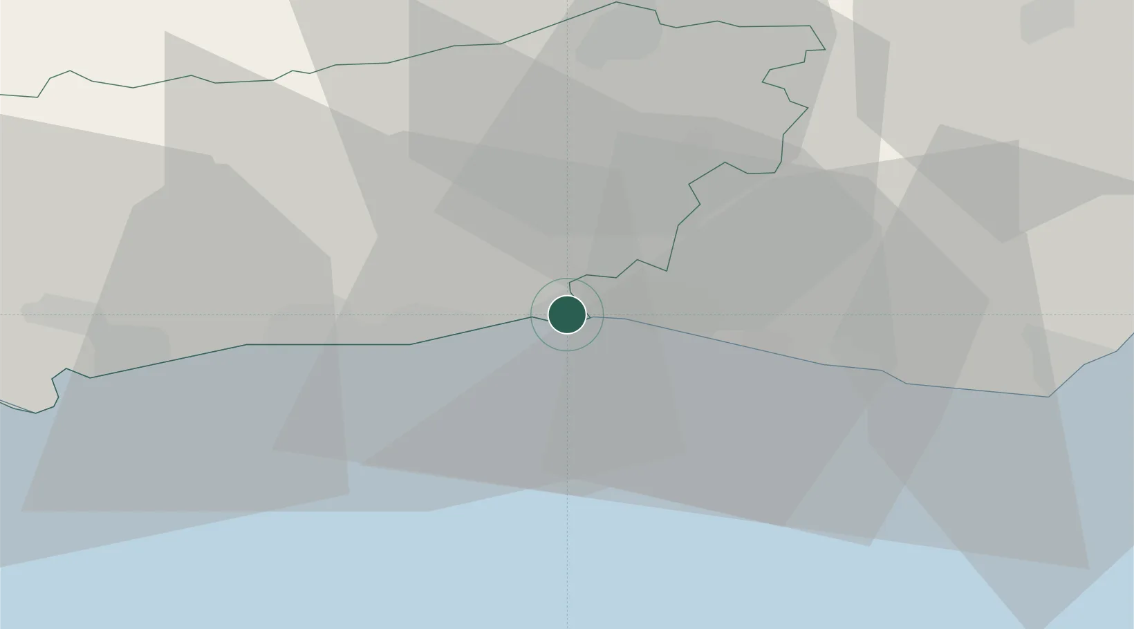
Location
Nearby Logistics Neighbours
Cities
- 1Shoreham-by-Sea2 km
- 2Sompting8 km
- 3Worthing11 km
- 4Ferring16 km
- 5West Grinstead16 km
Ports
- 1Shoreham Harbour2 km
- 2Newhaven Harbour21 km
- 3Littlehampton Harbour22 km
- 4Portsmouth Harbour61 km
- 5Rye Harbour71 km
Airports
- 1Brighton City Airport5 km
- 2London Gatwick Airport35 km
- 3London Biggin Hill Airport58 km
- 4Farnborough Airport62 km
- 5RAF Odiham67 km
Trade Zones
DatabookThe Record of Consolidated Knowledge
United Kingdom beyond logistics?