Transport Functions
Port
Multimodal
Hub Profile
Place type
Populated place
Region
England
Time zone
Europe/London
Elevation
15 m
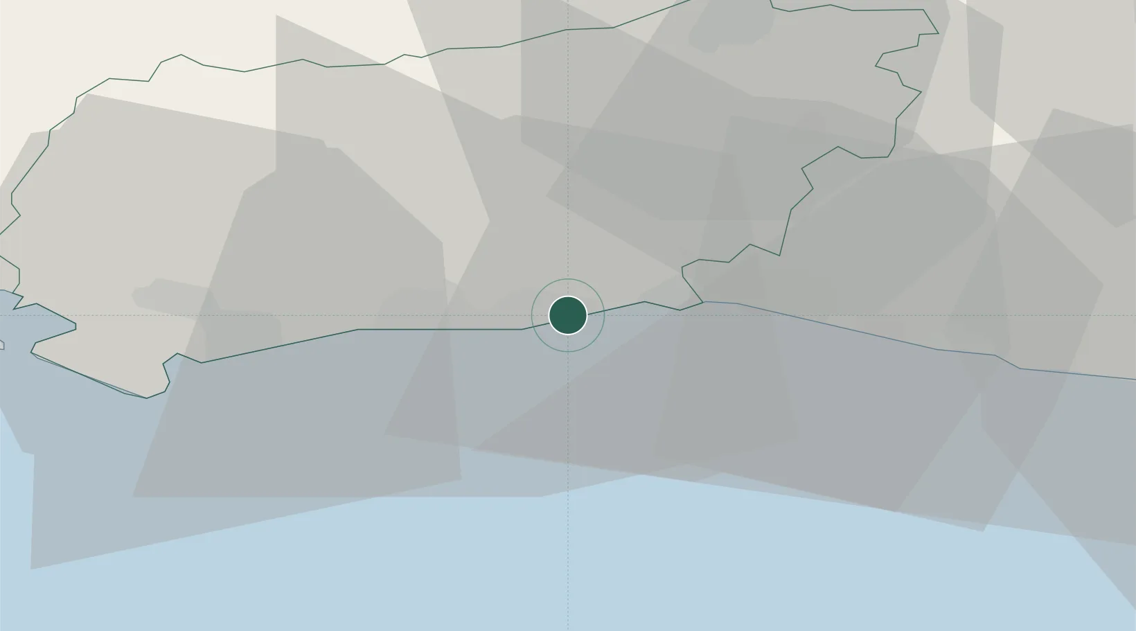
Location
Nearby Logistics Neighbours
Cities
- 1Worthing2 km
- 2Shoreham-by-Sea6 km
- 3Ferring7 km
- 4Southwick8 km
- 5Rustington12 km
Ports
- 1Shoreham Harbour7 km
- 2Littlehampton Harbour13 km
- 3Newhaven Harbour28 km
- 4Portsmouth Harbour53 km
- 5Cowes Harbour67 km
Airports
- 1Brighton City Airport4 km
- 2London Gatwick Airport39 km
- 3Farnborough Airport59 km
- 4RAF Odiham62 km
- 5Lasham Airfield63 km
Trade Zones
DatabookThe Record of Consolidated Knowledge
United Kingdom beyond logistics?