UN/LOCODE hub · United Kingdom
GBRNG
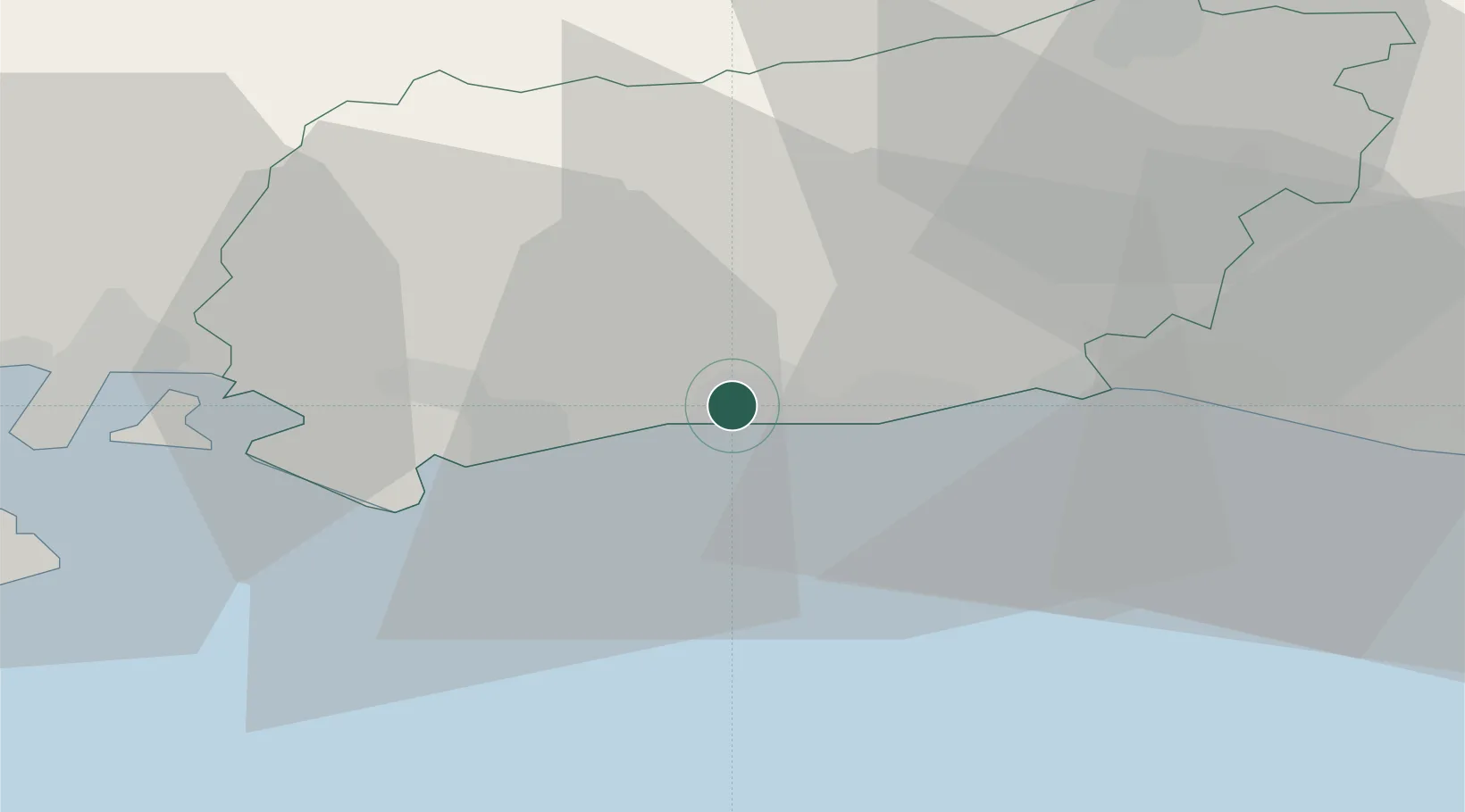
Rustington
50.8167°, -0.5167°
13,210
Population
3
Transport functions
Transport Functions
Rail
Road
Multimodal
Hub Profile
Place type
Populated place
Region
England
Population
13,210
Time zone
Europe/London
Elevation
6 m
Location
Nearby Logistics Neighbours
Ports
- 1Littlehampton Harbour4 km
- 2Shoreham Harbour19 km
- 3Newhaven Harbour40 km
- 4Portsmouth Harbour41 km
- 5Cowes Harbour55 km
Airports
- 1Brighton City Airport16 km
- 2London Gatwick Airport44 km
- 3Farnborough Airport54 km
- 4Lasham Airfield55 km
- 5RAF Odiham55 km
Trade Zones
DatabookThe Record of Consolidated Knowledge
United Kingdom beyond logistics?