Transport Functions
Multimodal
Hub Profile
Place type
Populated place
Region
Wales
Time zone
Europe/London
Elevation
113 m
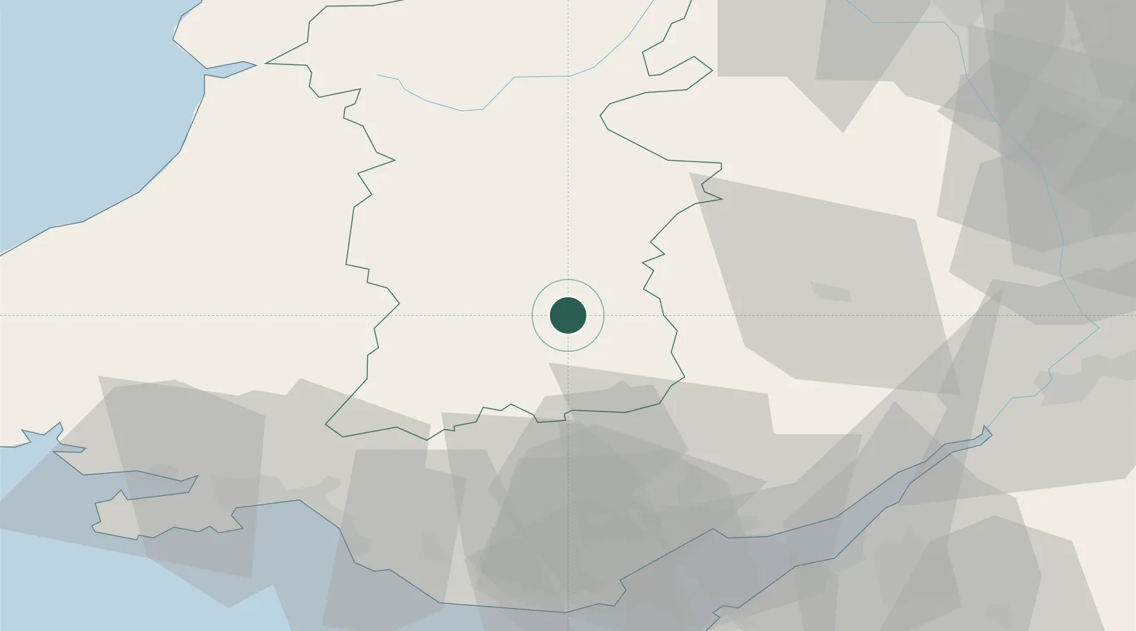
Location
Nearby Logistics Neighbours
Cities
- 1Llanfrynach12 km
- 2Hay-on-Wye13 km
- 3Whitney18 km
- 4Llanwern18 km
- 5New Tredegar20 km
Ports
- 1Bird Port55 km
- 2Newport56 km
- 3Neath57 km
- 4Port Talbot61 km
- 5Cardiff64 km
Airports
- 1MOD St Athan69 km
- 2Cardiff International Airport69 km
- 3Swansea Airport71 km
- 4Gloucestershire Airport78 km
- 5Bristol Airport81 km
Trade Zones
DatabookThe Record of Consolidated Knowledge
United Kingdom beyond logistics?