Transport Functions
Multimodal
Hub Profile
Place type
District seat
Region
Wales
Time zone
Europe/London
Elevation
9 m
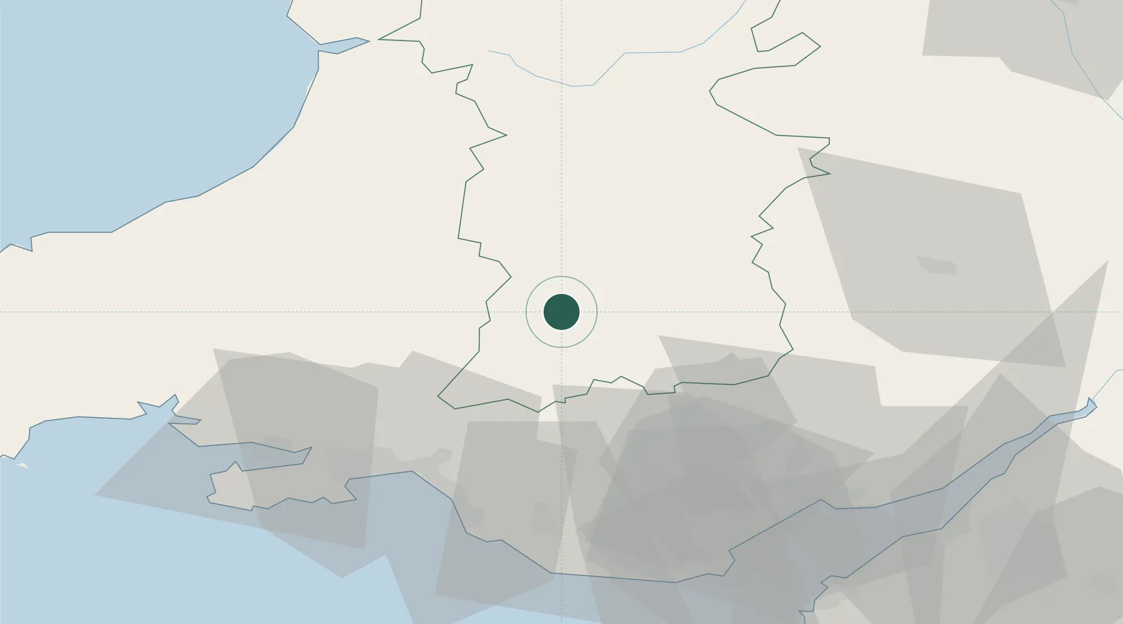
Location
Nearby Logistics Neighbours
Cities
- 1Llanfrynach15 km
- 2Cwmfelinfach18 km
- 3Abercraf22 km
- 4Penderyn22 km
- 5Hirwaun26 km
Ports
- 1Neath42 km
- 2Port Talbot47 km
- 3Swansea48 km
- 4Bird Port59 km
- 5Newport60 km
Airports
- 1Swansea Airport55 km
- 2MOD St Athan63 km
- 3Cardiff International Airport65 km
- 4Bristol Airport86 km
- 5Gloucestershire Airport94 km
Trade Zones
DatabookThe Record of Consolidated Knowledge
United Kingdom beyond logistics?