Transport Functions
Port
Multimodal
Hub Profile
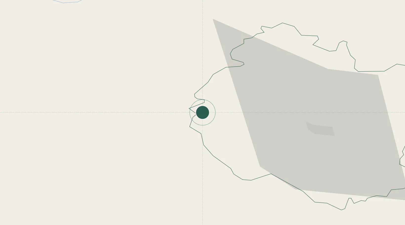
Place type
Populated place
Region
England
Time zone
Europe/London
Elevation
70 m
Location
Nearby Logistics Neighbours
Cities
- 1Hay-on-Wye8 km
- 2Pembridge17 km
- 3Cwmfelinfach18 km
- 4Shobdon21 km
- 5New Tredegar22 km
Airports
- 1Gloucestershire Airport67 km
- 2RAF Cosford79 km
- 3RAF Shawbury81 km
- 4Cardiff International Airport82 km
- 5MOD St Athan83 km
Trade Zones
DatabookThe Record of Consolidated Knowledge
United Kingdom beyond logistics?