UN/LOCODE hub · United Kingdom
GBXNW
New Tredegar
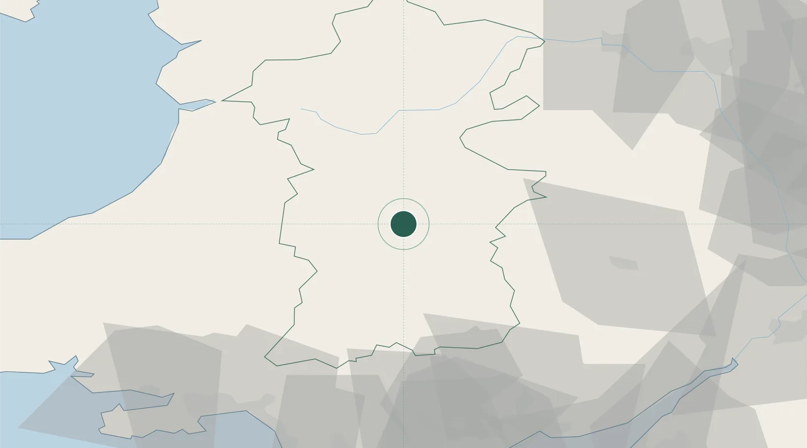
52.1833°, -3.3833°
4,208
Population
1
Transport functions
Transport Functions
Multimodal
Hub Profile
Place type
Populated place
Region
Wales
Population
4,208
Time zone
Europe/London
Elevation
217 m
Location
Nearby Logistics Neighbours
Cities
- 1Hay-on-Wye15 km
- 2Cwmfelinfach20 km
- 3Whitney22 km
- 4Llanwern26 km
- 5Llanfrynach30 km
Ports
- 1Neath69 km
- 2Port Talbot73 km
- 3Swansea74 km
- 4Bird Port74 km
- 5Newport76 km
Airports
- 1Swansea Airport80 km
- 2RAF Shawbury84 km
- 3MOD St Athan87 km
- 4Cardiff International Airport88 km
- 5RAF Cosford89 km
Trade Zones
DatabookThe Record of Consolidated Knowledge
United Kingdom beyond logistics?