Transport Functions
Multimodal
Hub Profile
Place type
Populated place
Region
Wales
Time zone
Europe/London
Elevation
97 m
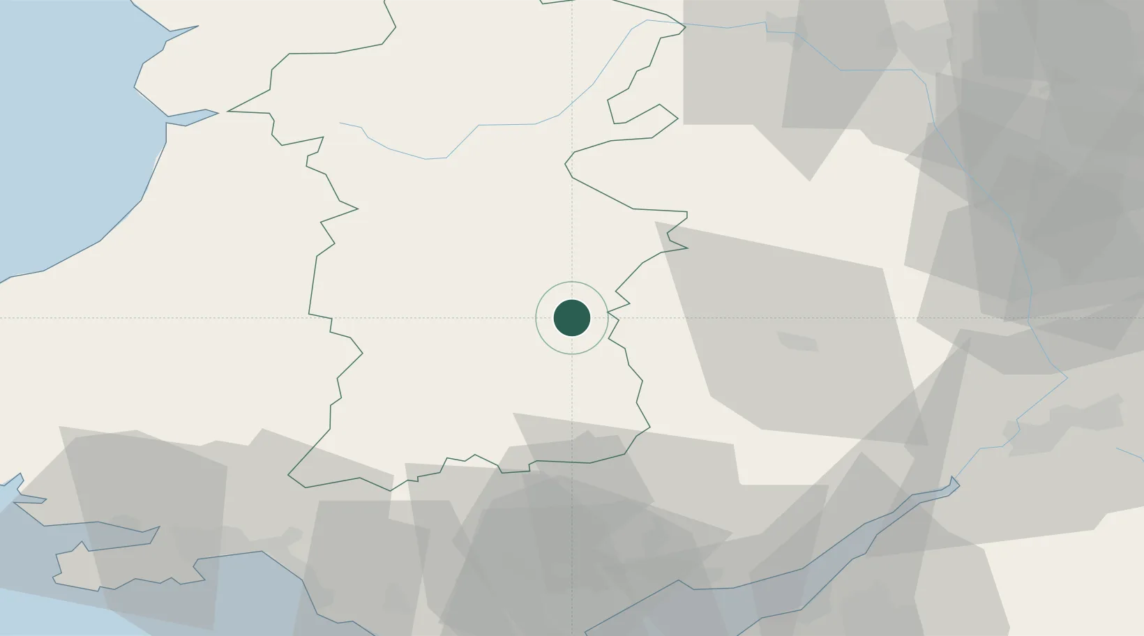
Location
Nearby Logistics Neighbours
Cities
- 1Whitney8 km
- 2Cwmfelinfach13 km
- 3New Tredegar15 km
- 4Pembridge23 km
- 5Llanfrynach24 km
Ports
- 1Bird Port63 km
- 2Newport65 km
- 3Sharpness66 km
- 4Neath69 km
- 5Port Talbot73 km
Airports
- 1Gloucestershire Airport75 km
- 2Cardiff International Airport81 km
- 3MOD St Athan81 km
- 4Swansea Airport83 km
- 5RAF Shawbury84 km
Trade Zones
DatabookThe Record of Consolidated Knowledge
United Kingdom beyond logistics?