Transport Functions
Rail
Road
Multimodal
Hub Profile
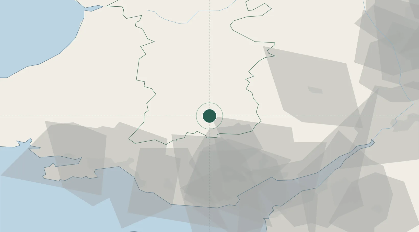
Place type
Populated place
Region
Wales
Time zone
Europe/London
Elevation
145 m
Location
Nearby Logistics Neighbours
Cities
- 1Cwmfelinfach12 km
- 2Llanwern15 km
- 3Blackwood Hill20 km
- 4Penderyn21 km
- 5Govilon21 km
Ports
- 1Bird Port46 km
- 2Neath47 km
- 3Newport47 km
- 4Port Talbot50 km
- 5Cardiff53 km
Airports
- 1MOD St Athan57 km
- 2Cardiff International Airport58 km
- 3Swansea Airport62 km
- 4Bristol Airport73 km
- 5Gloucestershire Airport80 km
Trade Zones
DatabookThe Record of Consolidated Knowledge
United Kingdom beyond logistics?