UN/LOCODE hub · United Kingdom
GBVTO
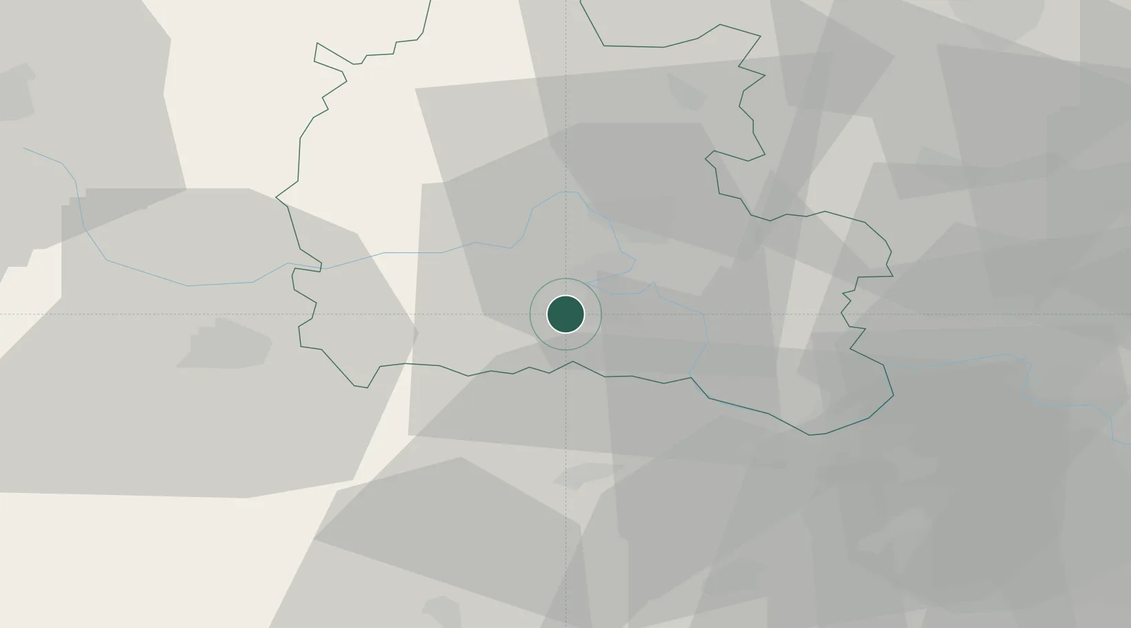
Steventon
51.6167°, -1.3167°
1,485
Population
2
Transport functions
Transport Functions
Rail
Road
Hub Profile
Place type
Populated place
Region
England
Population
1,485
Time zone
Europe/London
Elevation
64 m
Location
Nearby Logistics Neighbours
Ports
- 1Southampton80 km
- 2Sharpness81 km
- 3London86 km
- 4Fawley Marine Terminal89 km
- 5Portsmouth Harbour92 km
Airports
- 1RAF Benson15 km
- 2RAF Brize Norton24 km
- 3London Oxford Airport25 km
- 4RAF Fairford33 km
- 5Blackbushe Airport46 km
Trade Zones
DatabookThe Record of Consolidated Knowledge
United Kingdom beyond logistics?