UN/LOCODE hub · United Kingdom
GBWJH
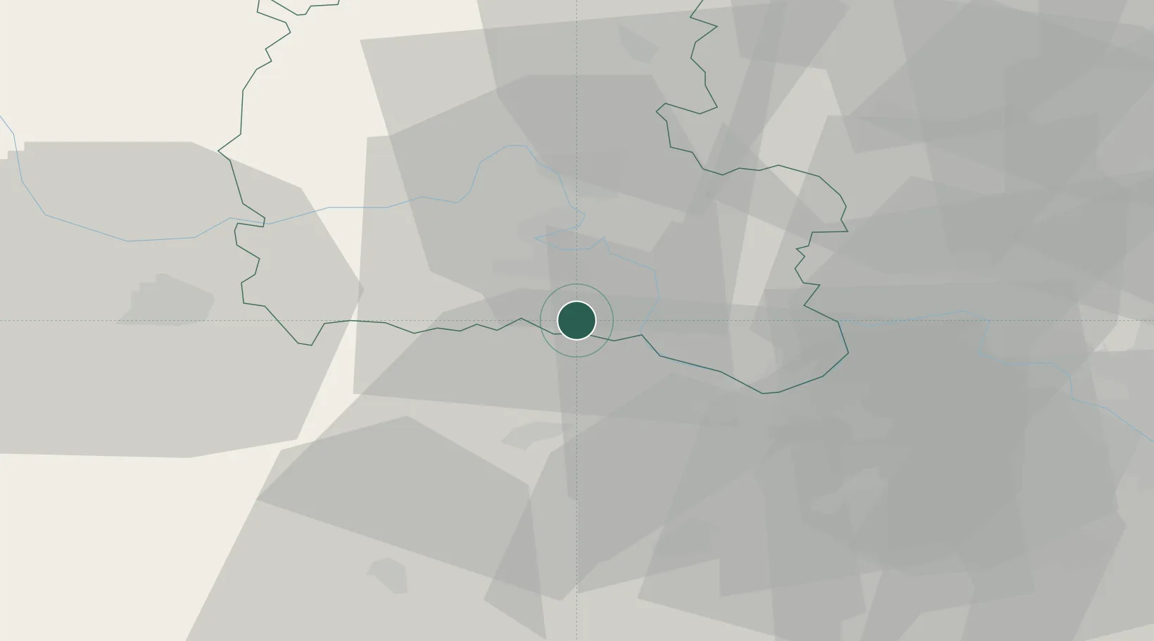
Blewbury
51.5500°, -1.2333°
1,581
Population
2
Transport functions
Transport Functions
Port
Multimodal
Hub Profile
Place type
Populated place
Region
England
Population
1,581
Time zone
Europe/London
Elevation
67 m
Location
Nearby Logistics Neighbours
Ports
- 1Southampton73 km
- 2London80 km
- 3Fawley Marine Terminal82 km
- 4Portsmouth Harbour84 km
- 5Cowes Harbour87 km
Airports
- 1RAF Benson12 km
- 2London Oxford Airport33 km
- 3RAF Brize Norton33 km
- 4Blackbushe Airport37 km
- 5RAF Odiham41 km
Trade Zones
DatabookThe Record of Consolidated Knowledge
United Kingdom beyond logistics?