Transport Functions
Road
Multimodal
Hub Profile
Place type
Populated place
Region
England
Population
1,571
Time zone
Europe/London
Elevation
102 m
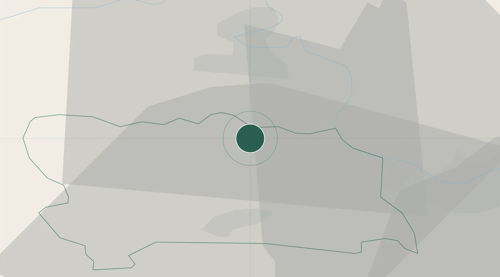
Location
Nearby Logistics Neighbours
Ports
- 1Southampton69 km
- 2Fawley Marine Terminal78 km
- 3Portsmouth Harbour81 km
- 4London82 km
- 5Cowes Harbour83 km
Airports
- 1RAF Benson16 km
- 2RAF Brize Norton34 km
- 3London Oxford Airport36 km
- 4Blackbushe Airport36 km
- 5RAF Odiham39 km
Trade Zones
DatabookThe Record of Consolidated Knowledge
United Kingdom beyond logistics?