UN/LOCODE hub · United Kingdom
GBCNM

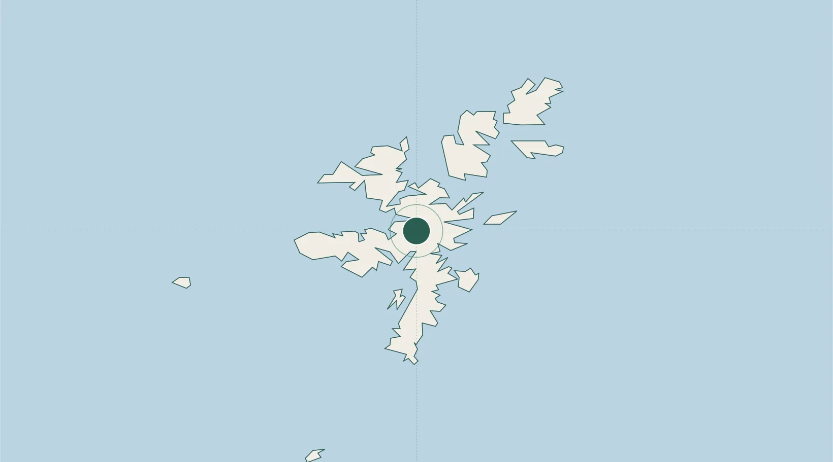
Central Mainland (Shetland)

60.3167°, -1.2667°
1
Transport functions

Transport Functions

Port
UN/LOCODE

Hub Profile

Region
ZET
GeoNames

Location

Location of GBCNM
Natural Earth 10m (public domain) · ZET · GBCNM · 60.32, -1.27GoogleOSMYandex

Nearby Logistics Neighbours

Cities
  1. 1Voe4 km
  2. 2Laxo5 km
  3. 3Aith7 km
  4. 4Vidlin9 km
  5. 5Sand13 km
Nearest neighbours — logibook spatial index (haversine) over the source coordinates
Ports
  1. 1Sullom Voe17 km
  2. 2Lerwick18 km
  3. 3Scalloway20 km
  4. 4Kettletoft142 km
  5. 5Pierowall147 km
Nearest neighbours — logibook spatial index (haversine) over the source coordinates
Airports
  1. 1Lerwick / Tingwall Airport14 km
  2. 2Foula Airfield49 km
  3. 3Sumburgh Airport49 km
  4. 4Fair Isle Airport89 km
  5. 5North Ronaldsay Airport124 km
Nearest neighbours — logibook spatial index (haversine) over the source coordinates
Trade Zones
  1. 1Prestwick Airport Free Zone570 km
  2. 2North Eastern Enterprise Zone595 km
  3. 3Carlisle Kingmoor Park Enterprise Zone607 km
  4. 4Tees Valley Enterprise Zone636 km
  5. 5York Central Enterprise Zone707 km
Nearest neighbours — logibook spatial index (haversine) over the source coordinates
DatabookThe Record of Consolidated Knowledge
United Kingdom beyond logistics?
Browse databook

All Sources

LocationsUN/LOCODE
UN/LOCODE — free
Portsthe NGA World Port Index
Public domain (US gov)
AirportsOurAirports
Public domain
Trade Zonesthe World Bank SEZ database
CC BY 4.0
Trade ZonesOpen Zone Map
CC BY
← United Kingdom locations