Transport Functions
Rail
Road
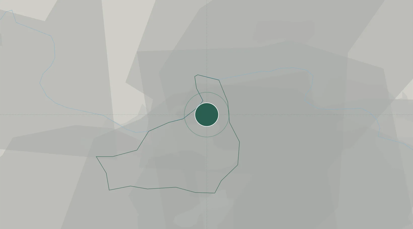
Hub Profile
Place type
District seat
Region
England
Population
7,533
Time zone
Europe/London
Elevation
51 m
Location
Nearby Logistics Neighbours
Cities
- 1Reading8 km
- 2Stoke Newington10 km
- 3Bray12 km
- 4Windsor17 km
- 5Hook18 km
Ports
- 1London54 km
- 2Southampton75 km
- 3Portsmouth Harbour78 km
- 4Fawley Marine Terminal81 km
- 5Littlehampton Harbour81 km
Airports
- 1Blackbushe Airport18 km
- 2RAF Benson22 km
- 3Farnborough Airport24 km
- 4London Heathrow Airport28 km
- 5RAF Odiham28 km
Trade Zones
DatabookThe Record of Consolidated Knowledge
United Kingdom beyond logistics?