Transport Functions
Rail
Road
Hub Profile
Place type
Urban district
Region
England
Time zone
Europe/London
Elevation
28 m
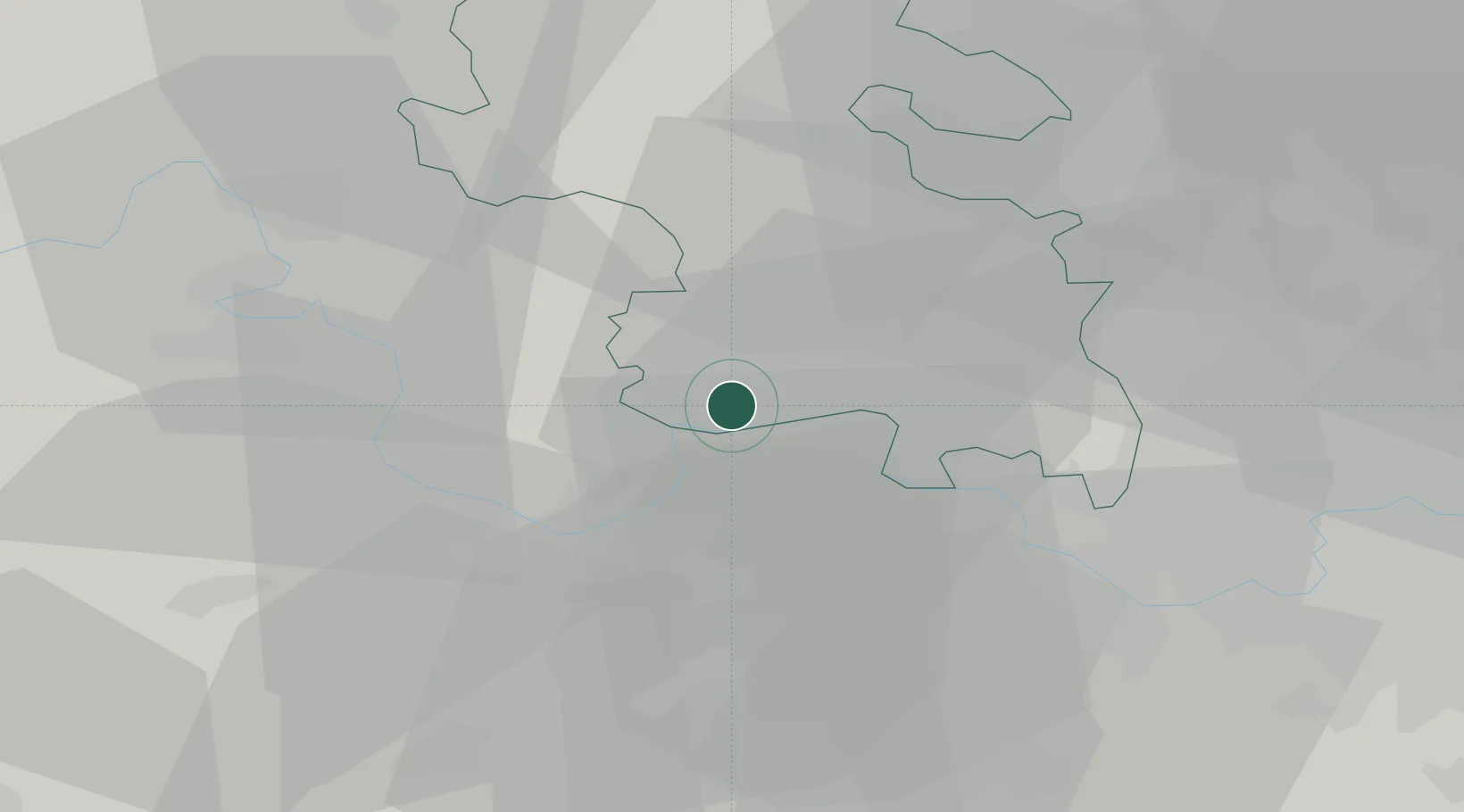
Location
Nearby Logistics Neighbours
Cities
- 1Twyford10 km
- 2Loudwater11 km
- 3Bray12 km
- 4Chinnor14 km
- 5Kingston Blount14 km
Ports
- 1London52 km
- 2Tilbury82 km
- 3Southampton84 km
- 4Gravesend84 km
- 5Portsmouth Harbour87 km
Airports
- 1RAF Benson19 km
- 2Blackbushe Airport27 km
- 3London Heathrow Airport28 km
- 4RAF Northolt29 km
- 5Farnborough Airport33 km
DatabookThe Record of Consolidated Knowledge
United Kingdom beyond logistics?