Transport Functions
Rail
Road
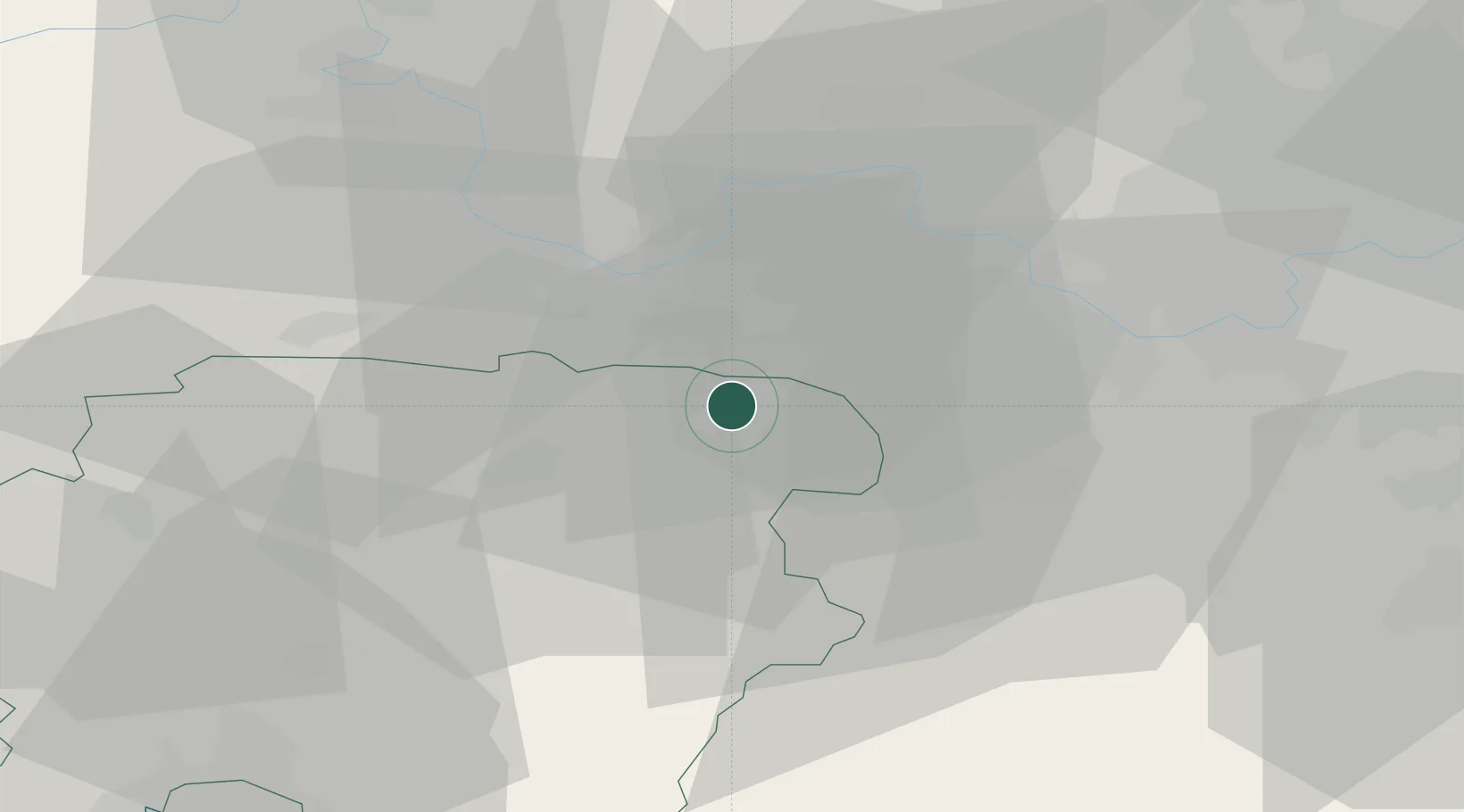
Hub Profile
Place type
Populated place
Region
England
Population
7,321
Time zone
Europe/London
Elevation
82 m
Logistics facilities
1
Location
Nearby Logistics Neighbours
Ports
- 1London59 km
- 2Southampton59 km
- 3Portsmouth Harbour60 km
- 4Littlehampton Harbour64 km
- 5Fawley Marine Terminal65 km
Airports
- 1Blackbushe Airport2 km
- 2Farnborough Airport9 km
- 3RAF Odiham11 km
- 4Lasham Airfield18 km
- 5London Heathrow Airport33 km
Trade Zones
DatabookThe Record of Consolidated Knowledge
United Kingdom beyond logistics?