UN/LOCODE hub · United Kingdom
GBRDN
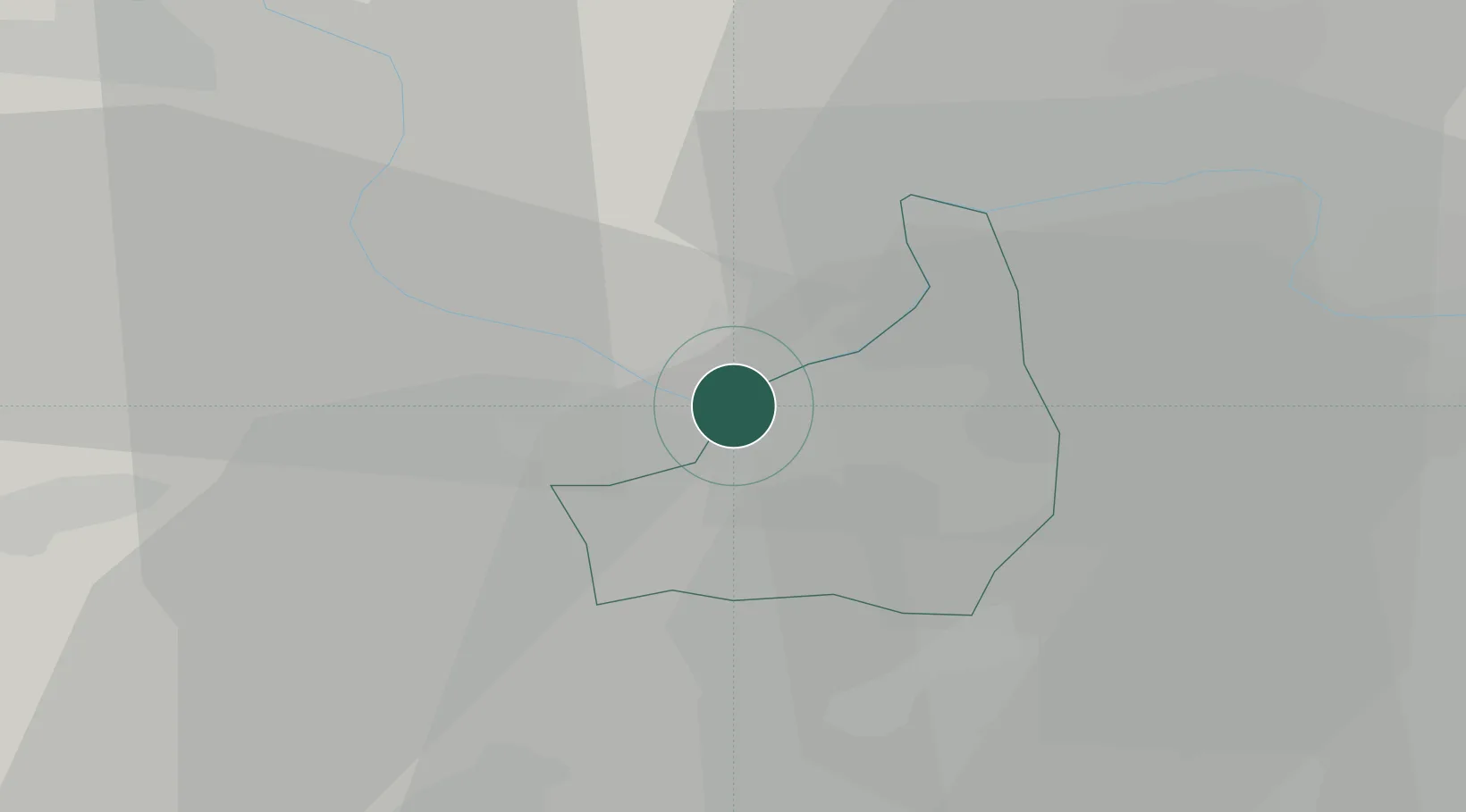
Reading
51.4500°, -0.9667°
318,014
Population
2
Transport functions
Transport Functions
Port
Postal
Hub Profile
Place type
Provincial seat
Region
England
Population
318,014
Time zone
Europe/London
Elevation
51 m
Location
Nearby Logistics Neighbours
Ports
- 1London61 km
- 2Southampton68 km
- 3Portsmouth Harbour73 km
- 4Fawley Marine Terminal75 km
- 5Cowes Harbour80 km
Airports
- 1Blackbushe Airport16 km
- 2RAF Benson20 km
- 3Farnborough Airport23 km
- 4RAF Odiham24 km
- 5Lasham Airfield30 km
Trade Zones
DatabookThe Record of Consolidated Knowledge
United Kingdom beyond logistics?