Transport Functions
Port
Multimodal
Hub Profile
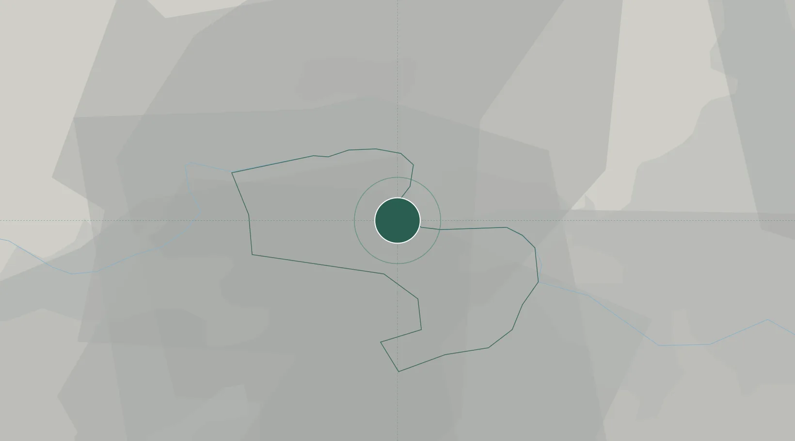
Place type
District seat
Region
England
Time zone
Europe/London
Elevation
23 m
Location
Nearby Logistics Neighbours
Cities
- 1Windsor7 km
- 2Stoke Poges8 km
- 3Upton9 km
- 4Loudwater11 km
- 5Twyford12 km
Ports
- 1London43 km
- 2Tilbury72 km
- 3Gravesend74 km
- 4Littlehampton Harbour81 km
- 5Shoreham Harbour82 km
Airports
- 1London Heathrow Airport17 km
- 2RAF Northolt20 km
- 3Blackbushe Airport22 km
- 4Farnborough Airport26 km
- 5RAF Benson30 km
DatabookThe Record of Consolidated Knowledge
United Kingdom beyond logistics?