UN/LOCODE hub · United Kingdom
GBWSR
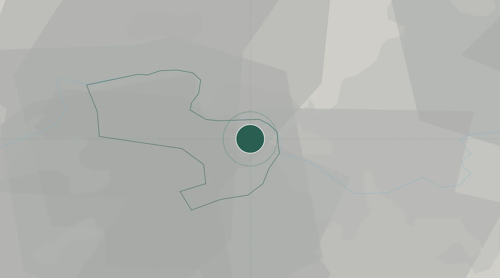
Windsor
51.4667°, -0.6167°
33,348
Population
2
Transport functions
Transport Functions
Rail
Road
Hub Profile
Place type
Populated place
Region
England
Population
33,348
Time zone
Europe/London
Elevation
49 m
Location
Nearby Logistics Neighbours
Cities
- 1Upton5 km
- 2Englefield Green5 km
- 3Stoke Poges6 km
- 4Bray7 km
- 5Thorpe9 km
Ports
- 1London37 km
- 2Tilbury66 km
- 3Gravesend68 km
- 4Littlehampton Harbour76 km
- 5Shoreham Harbour77 km
Airports
- 1London Heathrow Airport11 km
- 2RAF Northolt17 km
- 3Blackbushe Airport23 km
- 4Farnborough Airport24 km
- 5RAF Odiham34 km
DatabookThe Record of Consolidated Knowledge
United Kingdom beyond logistics?