UN/LOCODE hub · United Kingdom
GBCCC
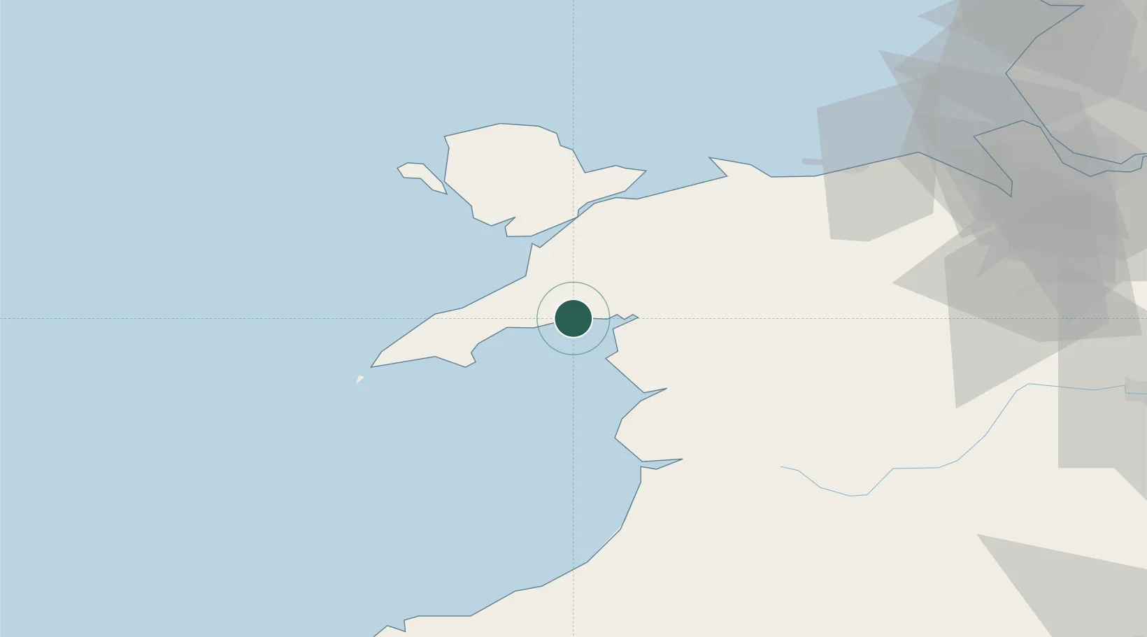
Criccieth
52.9167°, -4.2333°
1,753
Population
1
Transport functions
Transport Functions
Port
Hub Profile
Place type
Populated place
Region
Wales
Population
1,753
Time zone
Europe/London
Elevation
39 m
Location
Nearby Logistics Neighbours
Cities
- 1Borth-y-Gest7 km
- 2Porthmadog8 km
- 3Portmeirion9 km
- 4Pwllheli13 km
- 5Trefor15 km
Ports
- 1Caernarvon26 km
- 2Holyhead52 km
- 3Mostyn78 km
- 4Liverpool Bay Terminal82 km
- 5Liverpool99 km
Airports
- 1Anglesey Airport42 km
- 2Hawarden Airport89 km
- 3Liverpool John Lennon Airport103 km
- 4RAF Shawbury106 km
- 5Blackpool Airport124 km
Trade Zones
- 1Mersey Waters Enterprise Zone97 km
- 2Cheshire Science Corridor99 km
- 3Liverpool Free Zone110 km
- 4Sci-Tech Daresbury Enterprise Zone116 km
- 5Blackpool Enterprise Zone124 km
DatabookThe Record of Consolidated Knowledge
United Kingdom beyond logistics?