Transport Functions
Multimodal
Hub Profile
Place type
Populated place
Region
England
Population
2,153
Time zone
Europe/London
Elevation
23 m
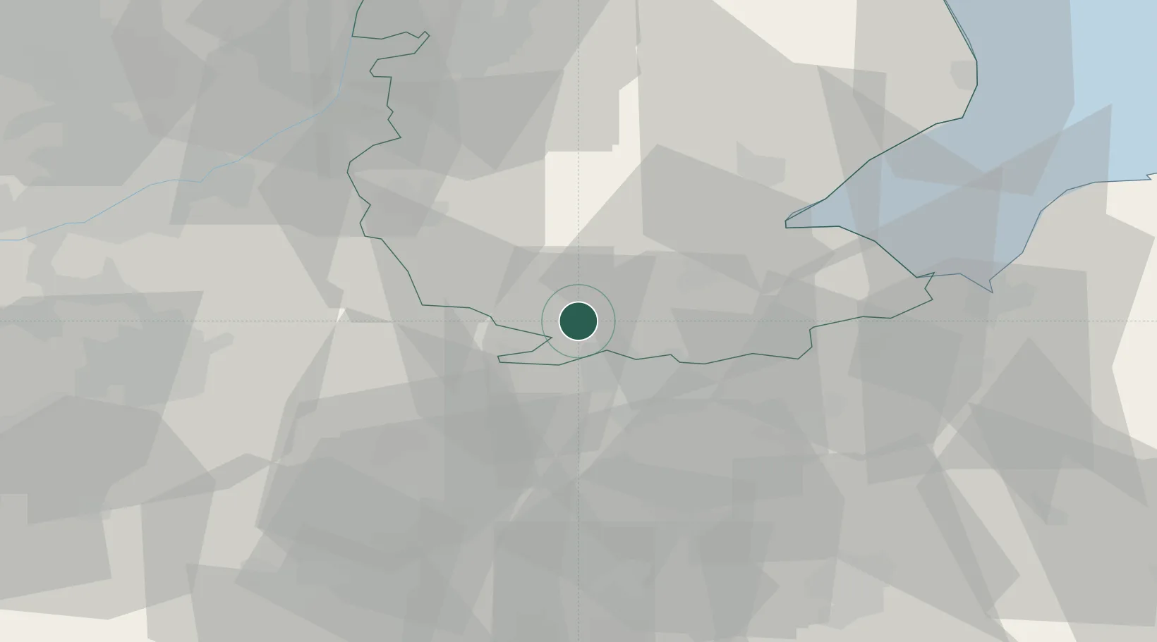
Location
Nearby Logistics Neighbours
Cities
- 1Deeping St Nicholas11 km
- 2Greetham17 km
- 3Wansford17 km
- 4Farcet22 km
- 5Yaxley25 km
Ports
- 1Wisbech35 km
- 2Boston36 km
- 3King's Lynn52 km
- 4Grimsby98 km
- 5Immingham103 km
Airports
- 1RAF Wittering14 km
- 2RAF Barkston Heath30 km
- 3RAF Cranwell36 km
- 4RAF Coningsby44 km
- 5RAF Waddington51 km
DatabookThe Record of Consolidated Knowledge
United Kingdom beyond logistics?