Transport Functions
Multimodal
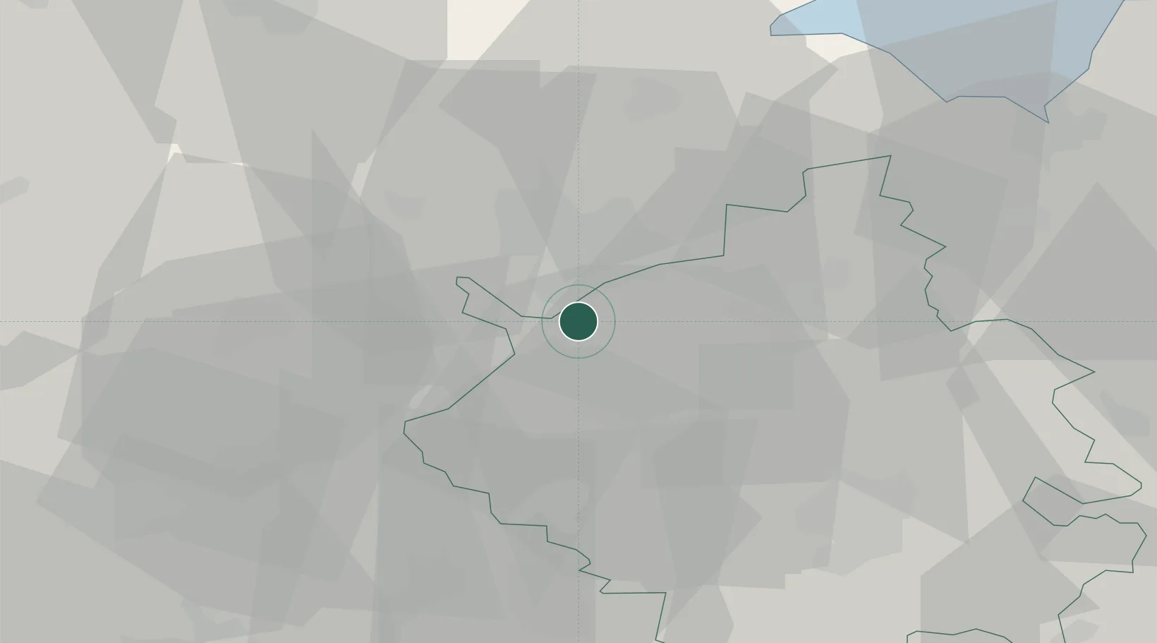
Hub Profile
Place type
Populated place
Region
England
Population
9,174
Time zone
Europe/London
Elevation
23 m
Location
Nearby Logistics Neighbours
Cities
- 1Farcet4 km
- 2Wansford14 km
- 3Brampton20 km
- 4Islip23 km
- 5Longstanton23 km
Ports
- 1Wisbech33 km
- 2King's Lynn52 km
- 3Boston54 km
- 4Colchester105 km
- 5Ipswich109 km
Airports
- 1RAF Wittering20 km
- 2Cambridge City Airport44 km
- 3RAF Mildenhall52 km
- 4Cranfield Airport54 km
- 5RAF Barkston Heath55 km
DatabookThe Record of Consolidated Knowledge
United Kingdom beyond logistics?