Transport Functions
Rail
Road
Hub Profile
Region
LIN
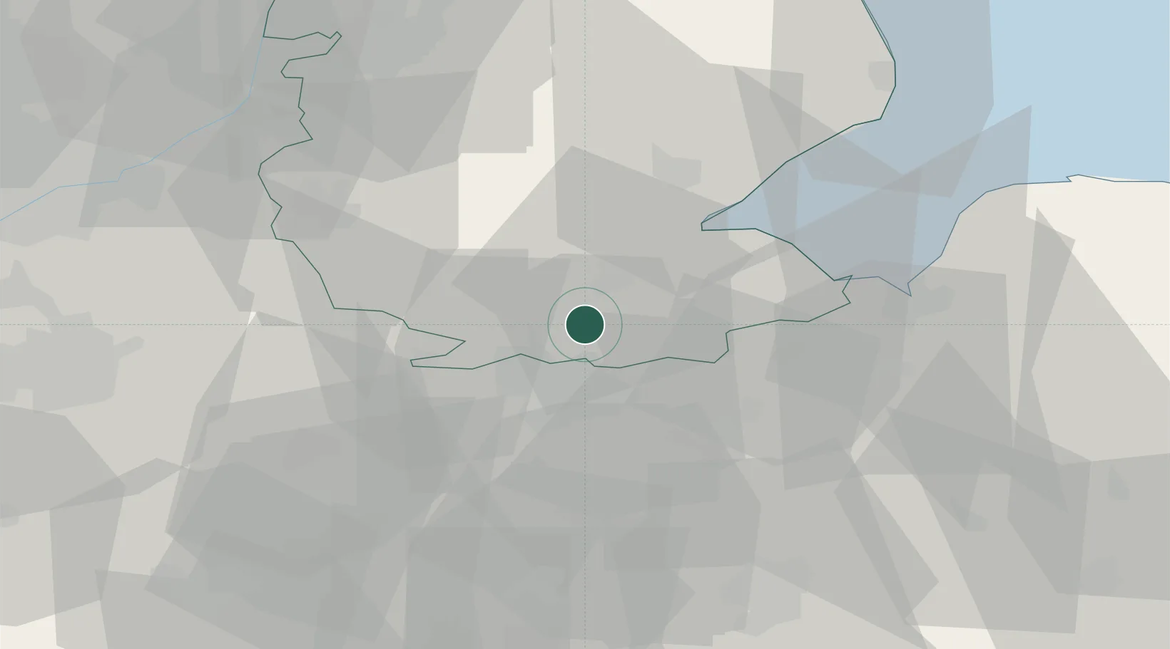
Location
Nearby Logistics Neighbours
Cities
- 1Thurlby11 km
- 2Farcet21 km
- 3Wansford22 km
- 4Yaxley24 km
- 5Sutton Bridge26 km
Ports
- 1Wisbech24 km
- 2Boston30 km
- 3King's Lynn41 km
- 4Grimsby97 km
- 5Immingham102 km
Airports
- 1RAF Wittering22 km
- 2RAF Barkston Heath36 km
- 3RAF Cranwell40 km
- 4RAF Coningsby42 km
- 5RAF Marham51 km
Trade Zones
DatabookThe Record of Consolidated Knowledge
United Kingdom beyond logistics?