Transport Functions
Multimodal
Hub Profile
Place type
Populated place
Region
England
Time zone
Europe/London
Elevation
18 m
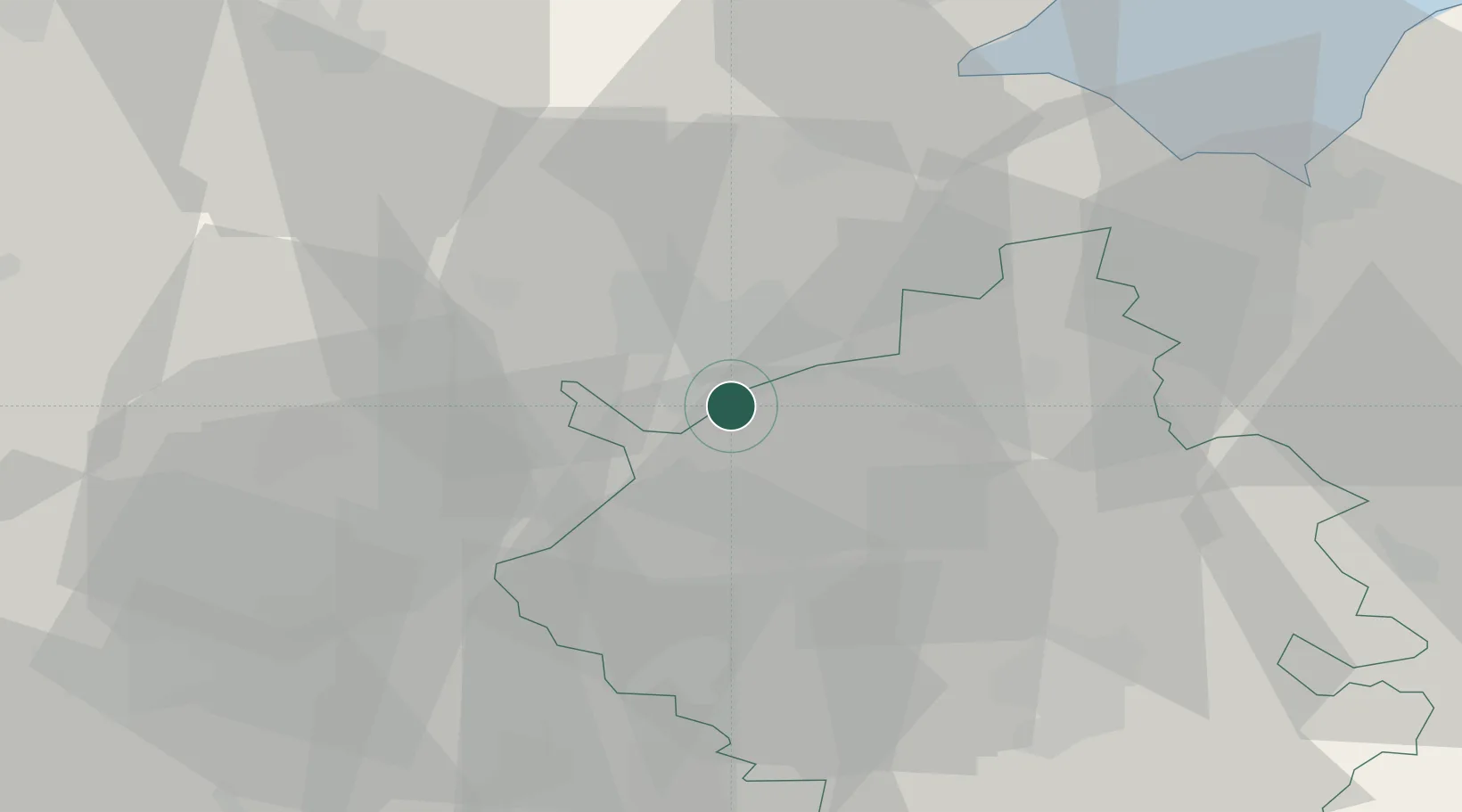
Location
Nearby Logistics Neighbours
Cities
- 1Yaxley4 km
- 2Wansford13 km
- 3Deeping St Nicholas21 km
- 4Thurlby22 km
- 5Longstanton23 km
Ports
- 1Wisbech30 km
- 2King's Lynn49 km
- 3Boston50 km
- 4Colchester107 km
- 5Ipswich109 km
Airports
- 1RAF Wittering19 km
- 2Cambridge City Airport46 km
- 3RAF Barkston Heath52 km
- 4RAF Mildenhall52 km
- 5RAF Marham55 km
DatabookThe Record of Consolidated Knowledge
United Kingdom beyond logistics?